What is recorded here
In reclaimed pasture immediately N of a field drain running NE-SW. Bowl barrow (LI040-036----) lies 65m to SW. Not depicted on OSi historic maps. Identified from McCloud aerial image (27). Described by Sarah Cross and Eoin Grogan in 1994 (License No. 94E0172) as a ‘previously unrecorded ring-ditch was also noted 20m to the north. It measures 7m north-south and 6m east-west. The mound is 3.6m in diameter and c. 0.3m high’. Faint trace of cropmark visible on Google Earth orthoimage dated 20/09/2020.
See attached McCloud aerial photograph and Google Earth orthoimages.
Compiled by: Martin Fitzpatrick
Date of upload: 2 July 2021
Ditch barrow, likely dating to the Early Bronze Age. Its identification from aerial imagery highlights the value of such methods in uncovering previously unrecorded burial monuments.
The monument record does not grant public access. Check the route and ask the landowner before entering private land.
- What survives
- Recorded monument
Places near here
 BarrowBarrow, bowl-barrow · 109 yd
 Ahnageeragh Bridgebridge · 887 yd
 CastleCastle, motte · 1080 yd
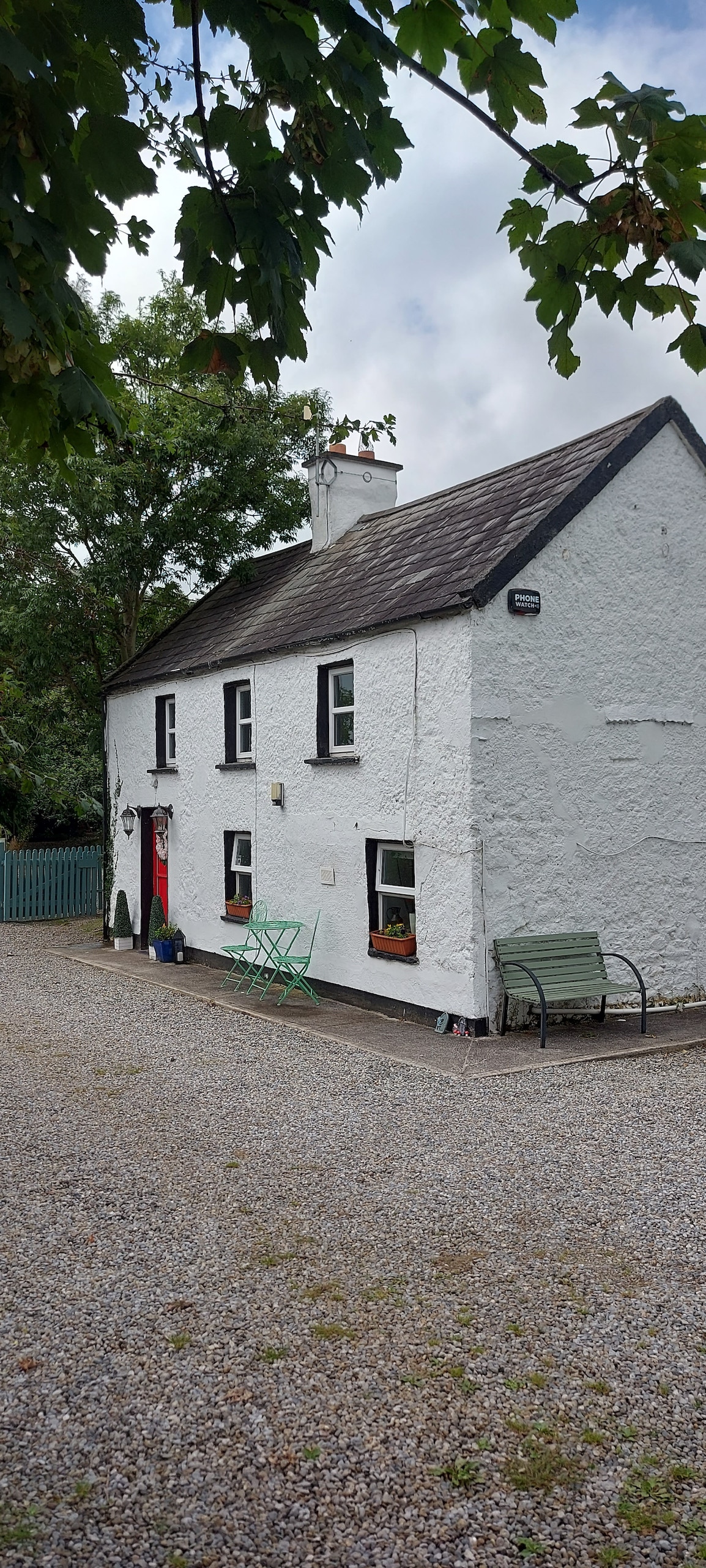 Enclosure in CastlefarmEnclosure · 1187 yd
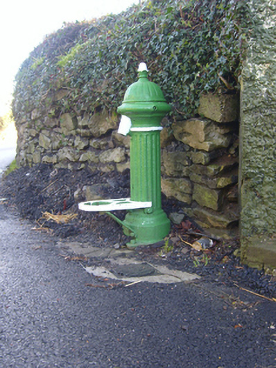 water pumpwater pump · 1247 yd
 Mote - HachuredCastle, motte · 1.6 mi
 Flat cemetery in Knockainy WestFlat cemetery · 1.8 mi
 St Patrick's WellSpring · 2.8 mi
 Kilteely HillMountain / peak · 3.5 mi
 St. Patrick's WellSpring · 3.9 mi
 Ballinvreena LoopVisitor information · 5.5 mi
 SlievereaghMountain / peak · 6.3 mi