What is recorded here
In rough wet pasture, 15m SW of the River Mahore that forms townland boundary with Oldtown. One of four barrows (LI040-037001-/003-). Not marked on OSi historic maps. Identified by Tarbett (1987, 53) as ‘Site 4’ and described as; ‘The remains of this barrow can only be traced by the differential growth patterning in the encircling ring-ditch, no enclosing bank can be seen. The diameter measures 7.70m N-S and 9m E-W.’ No surface remains visible on OSi orthophotograph taken between 2005-2012. Possible monument visible as circular cropmark or pond feature on Google Earth orthoimages.
See attached location map and drawing from C. Tarbett and Google Earth orthoimages.
Compiled by: Fiona Rooney
Date of upload: 12 May 2021
Ditch barrow, likely dating to the Early Bronze Age. It is part of a small barrow group, indicating a possible ritual or funerary landscape of local significance.
The monument record does not grant public access. Check the route and ask the landowner before entering private land.
- What survives
- Recorded monument
Places near here
 BarrowBarrow, bowl-barrow · 402 yd
 CastleCastle, motte · 865 yd
 Ahnageeragh Bridgebridge · 934 yd
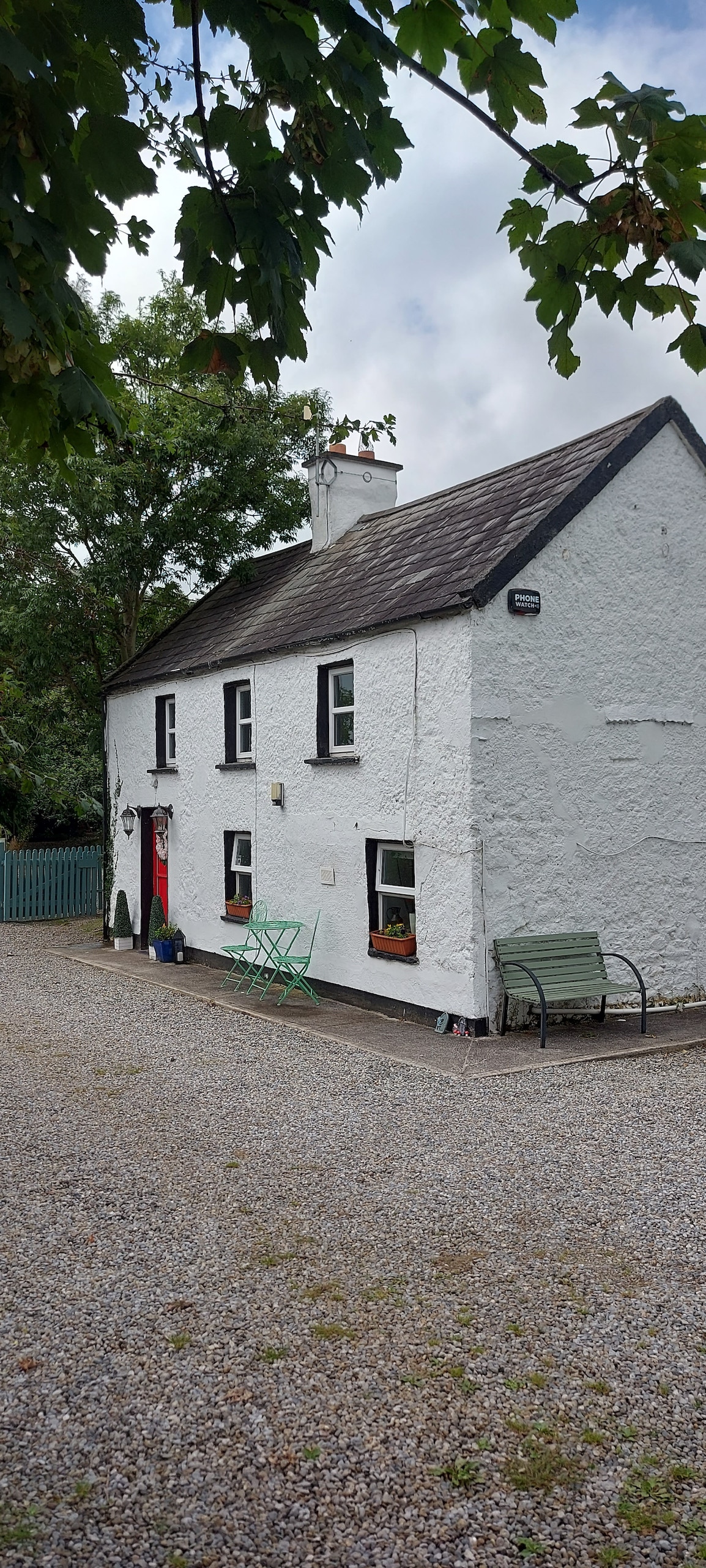 Enclosure in CastlefarmEnclosure · 1059 yd
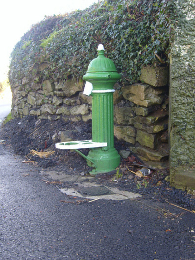 water pumpwater pump · 1471 yd
 Mote - HachuredCastle, motte · 1.8 mi
 Flat cemetery in Knockainy WestFlat cemetery · 1.9 mi
 St Patrick's WellSpring · 2.9 mi
 Kilteely HillMountain / peak · 3.4 mi
 St. Patrick's WellSpring · 3.8 mi
 Ballinvreena LoopVisitor information · 5.7 mi
 SlievereaghMountain / peak · 6.4 mi