What is recorded here
Barrow is a ditch barrow hidden in wet pasture beside the Morningstar River, where grass grows thicker in a circle no plough ever cut. It may have marked a dead person, a boundary or a warning, but the earth kept that answer private. The conifer plantation stands close enough to cast shadows across it at noon, while the river carries rain and memory toward Rathcannon.
In reclaimed wet pasture 240m NW of the Morningstar River that marks the townland boundary with Rathcannon. A conifer plantation lies 70m to S. Possible barrow (LI031- 151001-) lies 80m to NW. Identified from examination of aerial photograph (BGE 1:5000 No. 48) of the region taken 03/11/1984 associated with the Bórd Gáis Éireann Curraleigh West-Limerick gas pipeline. Visible as a circular cropmark on OSi orthophoto taken between 2005-2010 and on Google Earth orthoimages.
Compiled by: Martin Fitzpatrick
Date of upload: 16 March 2021
The monument record does not grant public access. Check the route and ask the landowner before entering private land.
- What survives
- Recorded monument
Places near here
 Enclosure in Carrigeen (smallcounty By.)Enclosure · 614 yd
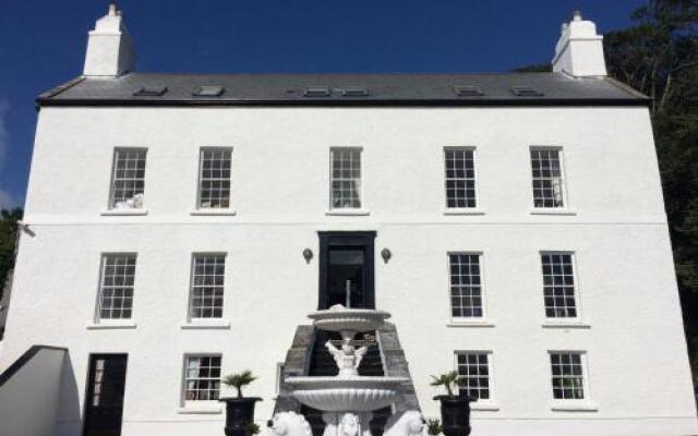 BarrowBarrow, ditch barrow · 839 yd
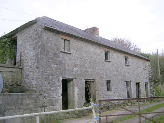 Camas Houseoutbuilding, bridge · 1559 yd
 RoadRoad, road/trackway · 1.3 mi
 OutlinedBawn · 1.6 mi
 (Site of) Tullabracky CastleCastle, unclassified · 2.1 mi
 Lough GurVisitor information · 3.4 mi
 Monasteranenagh AbbeyHeritage attraction · 3.4 mi
 European ashEuropean ash · 4.8 mi
 Banoge's WellSpring · 5.3 mi
 Biodiversity in the Maigue CatchmentVisitor information · 5.5 mi
 Flat cemetery in Knockainy WestFlat cemetery · 6.3 mi