What is recorded here
Situated on an artificial level terrace, on a very steep WNW-facing slope at W base of Benbulbin Mountain, in upland pasture. Natural ground level falls away steeply from the edge of the site at NW. Oval-shaped mound (dims. top 2.75 NE-SW; 1.5m NW-SE; dims. base 3.85 NE-SW; 2.1m NW-SE; H 0.15-0.3m) with an external fosse (Wth 4.2m-6.3m; D 0.1m-1.2m). The fosse is deepest at SE due to the steep natural slope.
Compiled by: Patrick F. O'Donovan
Date of upload: 21 April 2011
A Neolithic ditch barrow; its construction reflects early funerary practices in upland landscapes. The site's location suggests a deliberate choice for ceremonial or symbolic reasons, though its wider significance remains unclear due to incomplete documentation.
The monument record does not grant public access. Check the route and ask the landowner before entering private land.
- What survives
- Recorded monument
Places near here
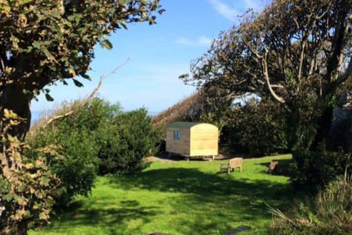 Hut site in BarnarobinHut site · 395 yd
 Sweathouse in BarnarobinSweathouse · 592 yd
 BenbulbinMountain / peak · 1381 yd
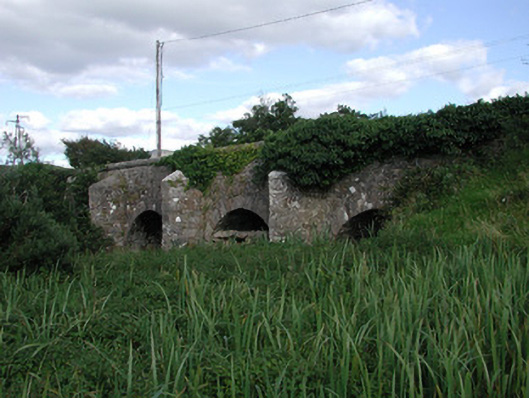 Ardnaglass Bridgebridge · 1.1 mi
 BenbulbenMountain · 1.1 mi
 Church (in Ruins)Church · 1.2 mi
 Castle (in Ruins)Castle, unclassified · 1.4 mi
 Benbulbin South-East TopMountain / peak · 1.4 mi
 Floods WoodForest · 1.8 mi
 Cat CornerWood · 2.1 mi
 CastleCastle, unclassified · 2.5 mi
 Grave of WB YeatsHeritage attraction · 2.6 mi