What is recorded here
In wet pasture 65m W of a stream and 270m W of the townland boundary with Lissard. One of 9 barrows (LI049-072001/009-) that make up a barrow cemetery concentrated in an area measuring 240m N-S x 50m E-W. Six of the 9 barrows in this cemetery were excavated in 1934 by S. P. Ó Ríordáin (1936, 180-181). Site number VII in Field C was excavated. No surface remains visible on Digital Globe orthoimage taken between 2011-13 or on Google Earth orthoimages.
See attached location maps taken from Ó Ríordáin and Google Earth orthoimages.
Compiled by: Martin Fitzpatrick
Date of upload: 23 September 2021
Ditch barrow, likely dating to the Early Bronze Age, part of a cemetery with nine barrows. Its significance lies in its contribution to understanding Bronze Age burial practices and settlement patterns in the region.
The monument record does not grant public access. Check the route and ask the landowner before entering private land.
- What survives
- Recorded monument
Places near here
 BarrowBarrow, unclassified · 402 yd
 Partially hachuredQuarry · 810 yd
 Partially indicatedFulacht fia · 1076 yd
 Darby's Bed Walk LoopWalking route · 1327 yd
 Duntryleague - hachuredCastle, ringwork · 1351 yd
 Duntryleague HillMountain / peak · 1383 yd
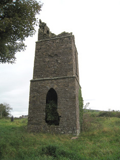 Duntryleague Church (Galbally)church/chapel · 1416 yd
 Ryves CastleCastle, unclassified · 1.5 mi
 Carn (site of)Cairn, burial cairn · 1.6 mi
 Saint Patrick's WellSpring · 2.0 mi
 St Patrick's WellSpring · 3.1 mi
 SlievereaghMountain / peak · 3.7 mi