
What is recorded here
Cropmark of possible ditch-barrow visible on OSi orthophoto and on Google Earth orthoimage taken 18/11/2018.
See attached Google Earth orthoimage
Compiled by: Caimin O'Brien
Date of upload: 2 November 2021
Ditch barrow, likely dating to the Early Bronze Age. Its significance lies in its potential to contribute to understanding of burial practices and landscape use in a region where such monuments are poorly documented.
The monument record does not grant public access. Check the route and ask the landowner before entering private land.
- What survives
- Recorded monument
Places near here
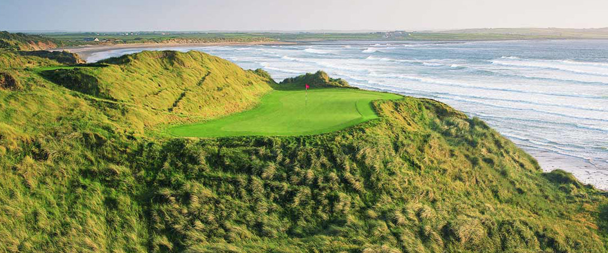 BarrowBarrow, ditch barrow · 162 yd
 Earthwork in Ballybeg (coonagh By.)Earthwork · 333 yd
 Oola Castle (in ruins)Castle, tower house · 562 yd
 Shanaclough Househouse · 799 yd
 CastleCastle, ringwork · 1018 yd
 Oola HillMountain / peak · 1253 yd
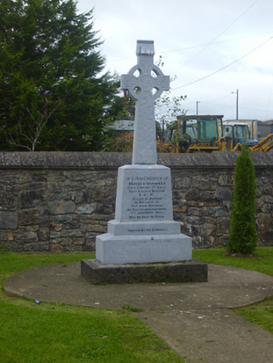 O'Donnell Monumentmonument · 1.1 mi
 ToberagaddySpring · 4.7 mi
 St. Patrick's WellSpring · 6.9 mi
 Kilteely HillMountain / peak · 7.1 mi
 Flat cemetery in Knockainy WestFlat cemetery · 10 mi
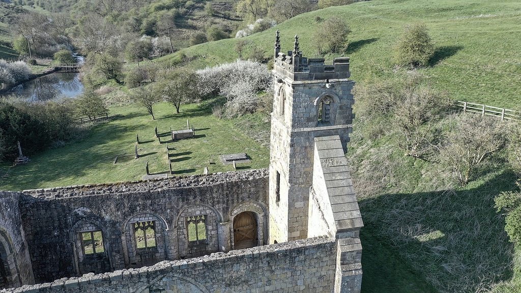 Settlement desertedSettlement deserted, medieval · 620 yd
Other information
Photo: Credit not shown in the picture search · Rights wording not checked; contact us if this picture should be removed