What is recorded here
Unpublished OPW Topographical Files (1934) record an excavation (E000012) of a bowl barrow undertaken in the course of a week in October 1934 by Mr. S. Langan, UCG. The bowl barrow was located close to the summit of a sharp N-S incline. It consisted of a mound (diam. c. 13m; H 1.5m), enclosed by a fosse (Wth 1m), and was slightly truncated on the E side by a modern N-S field fence. At the base of the mound was a layer of good quality sand. This was overlain by heavy yellow clay, reaching a thickness of c. 1m in the centre of the mound, which was topped by a layer (D. c. 0.17m) of dark soil and sod. An concentration of charred wood (max. D c. 0.15-0.2m), containing charred fragments of bone, was found within the yellow clay layer, close to the centre of the mound. It overlay a deposit of red, ochre-like clay (D c. 0.07m). A short distance to NW, at a slighlty higher level within the yellow clay, there was a second deposit of very small bone fragments, which appeared to be uncharred. These bones were covered by a haphazard assortment of stones. Fragments of bone were also recovered from the sod layer on the E side of the mound but these appeared to be unstratified and within the area disturbed by the construction of the later field bank. The only artefact recovered was a piece of iron, 'like a bent staple', which was thought by the excavator to be intrusive. The bones and piece of iron were sent to the National Museum. The mound may have been restored or reconstructed following the excavation. The exact location of the mound was not recorded in the files, and remains unknown.
Compiled by: Jane O'Shaughnessy
Date of upload: 13 February 2013
Bowl barrow, Late Neolithic or Early Bronze Age. Its excavation in 1934 by S. Langan provides early archaeological insight into burial practices in the Burren region.
The monument record does not grant public access. Check the route and ask the landowner before entering private land.
- What survives
- Recorded monument
Places near here
 Enclosure in Knockboy (carra By.)Enclosure · 1 yd
 IndicatedEnclosure · 354 yd
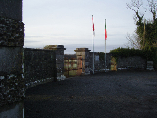 Towerhill Housegates/railings/walls · 913 yd
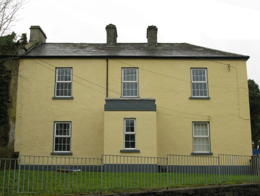 Ballyglass Garda Síochána Stationgarda station/constabulary barracks · 1.1 mi
 Bawn in BellanaloobBawn · 1.5 mi
 Moore Hall Forest TrailWalking route · 1.8 mi
 Creevagh IslandIslet · 2.0 mi
 Connors IslandIslet · 2.1 mi
 Moore Hall ForestForest · 2.1 mi
 Castle (in Ruins)Castle, unclassified · 2.2 mi
 Kiltoom PointHeadland · 2.3 mi
 European hornbeamEuropean hornbeam · 2.8 mi