What is recorded here
Situated on a gentle E-facing slope. Subcircular mound (dims. 12.5m N-S; 11m E-W; H 1.5m) with a fosse (Wth 5m at W - 2.5m at E; D 1m) and an external bank (Wth 2.5m but up to 4m at E; H. 0.2-0.95m) (max. dims. 24m N-S; 25.5m E-W). The site has been truncated by a laneway and by a field boundary on NNE side. Shown on the 1838 OS 6-inch map as a small enclosure.
The above description is derived from the published 'Archaeological Inventory of County Wicklow' (Dublin: Stationery Office, 1997). In certain instances the entries have been revised and updated in the light of recent research.
Date of upload/revision: 2 October 2012
Revised by: Claire Breen
Bowl barrow, likely dating to the Early Bronze Age (c. 2000–1500 BCE). It represents a common form of burial monument in the British Isles, reflecting early communal burial practices and landscape organisation.
The monument record does not grant public access. Check the route and ask the landowner before entering private land.
- What survives
- Recorded monument
Places near here
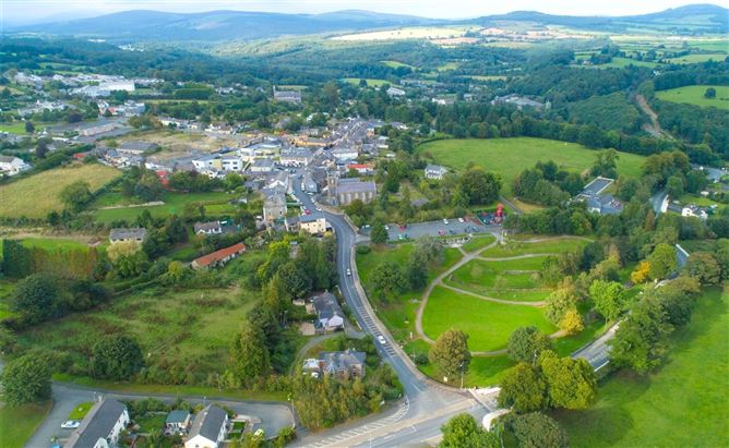 Enclosure in Ballyremon CommonsEnclosure · 399 yd
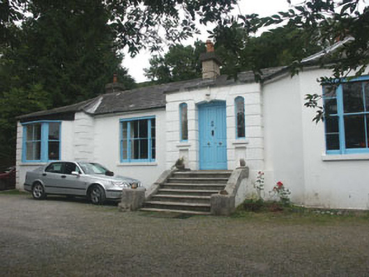 Valclusahouse · 1518 yd
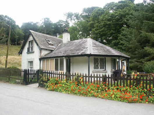 gate lodgegate lodge · 1606 yd
 Deerpark TrailWalking route · 1.1 mi
 Great SugarloafMountain / peak · 1.2 mi
 Great Sugar LoafMountain · 1.2 mi
 The Sugar Loaf WayWalking route · 1.3 mi
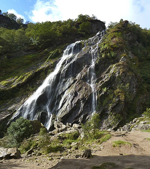 Powerscourt WaterfallWaterfall · 1.4 mi
 Monkey-puzzleMonkey-puzzle · 1.7 mi
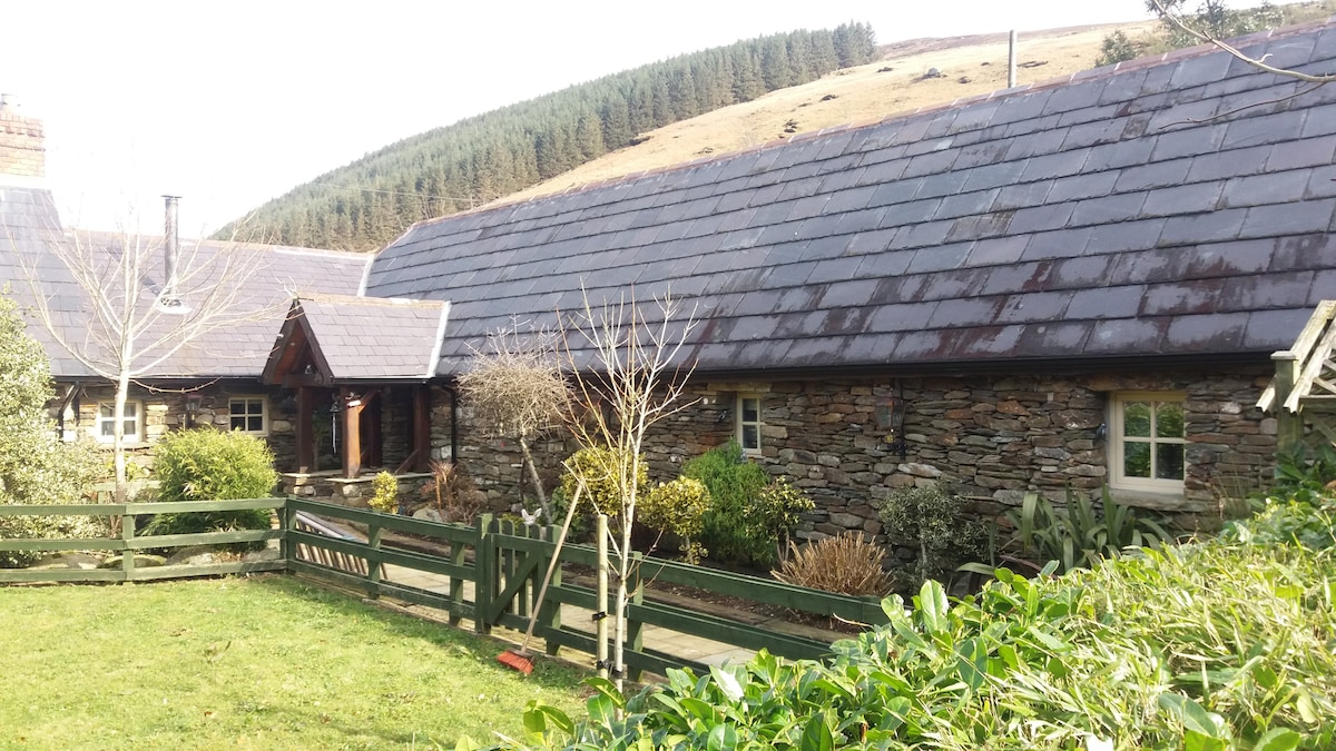 Enclosure in GlasnamullenEnclosure · 1.7 mi
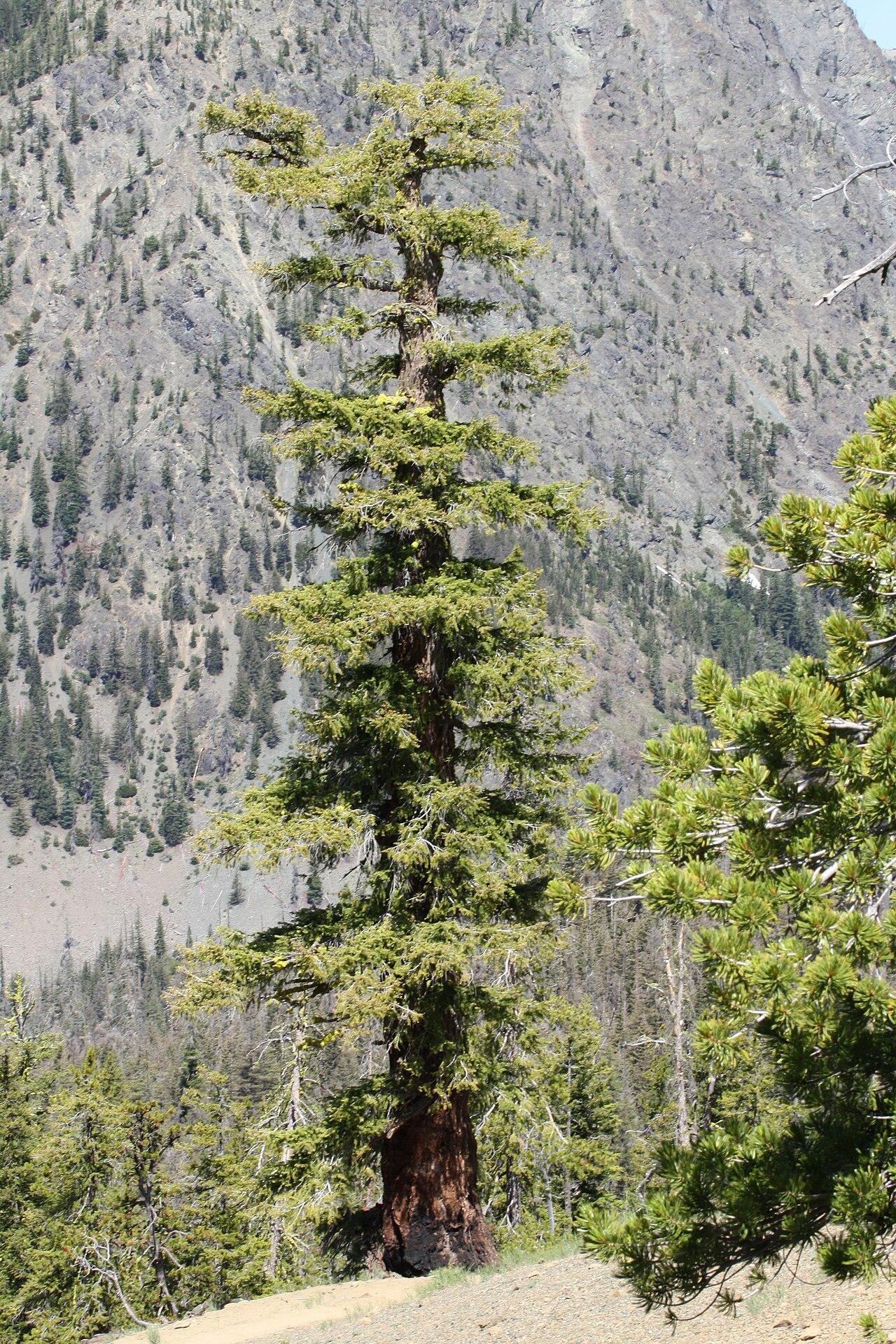 Douglas-firDouglas-fir · 1.8 mi
 MaulinMountain / peak · 2.2 mi