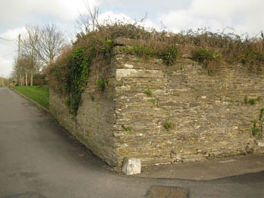
What is recorded here
Freestanding enclosing wall, built c.1800, incorporating remains of various buildings. Historically used as enclosure of military barracks. Rubble stone walls built to courses with rusticated limestone quoins. Red brick repairs and red brick additions to south-east elevation. Structural remains such as voussoirs and surrounds of now blocked windows and doors also to south-west. Jostle stones with Ordnance Survey benchmarks and lettering to corners (north-west, south-west). Located on slope (north-west to south-east) with recent factory to interior.
This substantial structure covers a well defined area in the locality and serves as a reminder of the former military presence in the town. It still forms an imposing feature on its south side where the wall is preserved to considerable height. As well as the boundary wall there are remnants of other structural features that appear to match with buildings depicted on the 1st edition Ordnance Survey map.
This does not grant access. Most recorded buildings are privately owned; view them only from public ground unless the owner allows entry.
Places near here
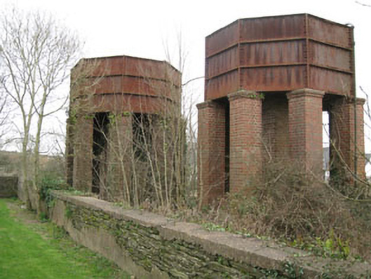 water towerwater tower · 68 yd
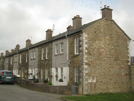 barracksbarracks · 101 yd
 IndicatedEnclosure · 274 yd
 James FortVisitor information · 450 yd
 Dermot Ryan's Heritage Town WalksHeritage attraction · 452 yd
 The Tumble CartHeritage attraction · 465 yd
 Tim & Mortimer McCarthy MemorialMemorial · 493 yd
 GaolCastle, tower house · 501 yd
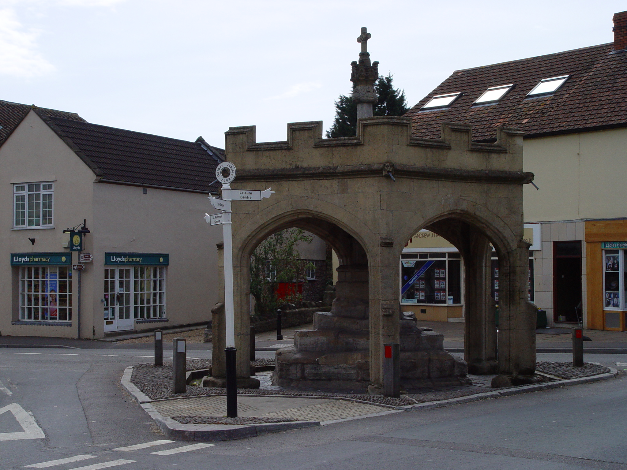 CrossCross, Market cross · 543 yd
 Kinsale Alms HousesVisitor information · 691 yd
 Graveyard in Abbey-Lands, Part of (kinsale By., Ringcurran Par.)Graveyard · 847 yd
 Battle of KinsaleMajor battlefield · 936 yd
Other information
Photo: National Inventory of Architectural Heritage · Website use allowed for educational or private purposes with source credit