What is recorded here
On SW side of Mitchelstown; at W side of road. Shown on 1842 OS 6-inch map as 'Infantry Barracks' comprising of rectangular enclosure (c. 70m N-S; c. 50m E-W) with large U-shaped building and scattering of smaller structures, in S half. Enclosing random-rubble limestone walls survive on W, S and E sides, each with central angled projection (Wth c. 3m; D c. 3m) containing gun loops. Piered entrance (blocked) and door ope (blocked) in W wall, central piered entrance on N side. Internal buildings no longer survive; outline of buildings visible in plaster on internal W wall; corbels set into internal face of E wall. Described by Lewis (1837, vol. 2, 373) as 'a neat range of buildings adapted for 3 officers and 72 non-commissioned officers and privates'. Burnt in 1922 and buildings demolished c. 1940s (pers. comm. B. Power).
The above description is derived from the published 'Archaeological Inventory of County Cork. Volume 4: North Cork' (Dublin: Stationery Office, 2000). In certain instances the entries have been revised and updated in the light of recent research.
Date of upload/revision: 14 January 2009
The monument record does not grant public access. Check the route and ask the landowner before entering private land.
- What survives
- Recorded monument
Places near here
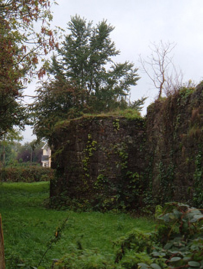 barracksbarracks · 1 yd
 Grave YardGraveyard · 239 yd
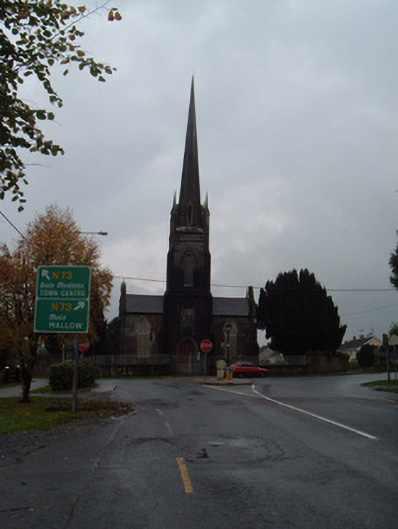 Saint George's Church (Brigown)church/chapel · 288 yd
 Statue of Saint FanahanMemorial · 419 yd
 Mitchelstown Town MapVisitor information · 611 yd
 John MandevilleMemorial · 626 yd
 St Finnchus WellHoly well · 841 yd
 White Knights Tower (Site of)Castle, unclassified · 1073 yd
 Carriganoura Castle (in Ruins)Castle, tower house · 2.0 mi
 FlagCave · 2.8 mi
 Ballyarthur HillMountain / peak · 3.7 mi
 Kilclooney WoodWood · 5.0 mi