
What is recorded here
Places near here
Photo credits
- Maker not stated on source page, de.wikipedia.org
- Kenneth Allen, Geograph · CC BY-SA 2.0
- Kenneth Allen, Geograph · Creative Commons Attribution-ShareAlike 2.0
- Maker not stated on source page, megalithica.ru
- Maker not stated on source page, ie.pinterest.com
- Maker not stated on source page, www.bigstockphoto.com
- Kenneth Allen, Wikimedia Commons · CC BY-SA 2.0
- C Michael Hogan, Wikimedia Commons · CC BY-SA 2.0
- Kenneth Allen, commons.wikimedia.org
- Maker not stated on source page, www.tripadvisor.com.au
- Gordon Dunn, Wikimedia Commons · CC BY-SA 2.0
 Court tomb in Barnes LowerCourt Tomb · 1608 yd
Explorer Tom “Court tomb in Barnes Lower” has inspired some truly dreadful poetry, likely written by someone who’d never held a…
 Standing stone in GarvaghStanding Stone · 1709 yd
Explorer Tom Standing stone in Garvagh nearly got famous when a tourist mistook it for a giant chess piece. It was a close call, but…
 Holy well: toberanna in Drumnaspar UpperHoly Well: Toberanna · 1.3 mi
Explorer Tom Holy well Toberanna is locked in a feud with the rain because it thinks it’s not wet enough. The water looks deep and…
 Multiperiod church site, bullaun, stone crosses & graveyard (Early Christian-Modern): both-domnach in GlenroanMultiperiod Church Site, Bullaun, Stone Crosses & Graveyard (early Christian-modern): Both-domnach · 1.4 mi
Explorer Tom Multiperiod church site, Bullaun, Stone crosses & graveyard (Early Christian-Modern): both-domnach in Glenroan would…
 Standing stone in Gorticashel UpperStanding Stone · 1.4 mi
Explorer Tom Standing stone in Gorticashel Upper would explain the 1800s to a teenager by saying, 'We were all very damp and argued…
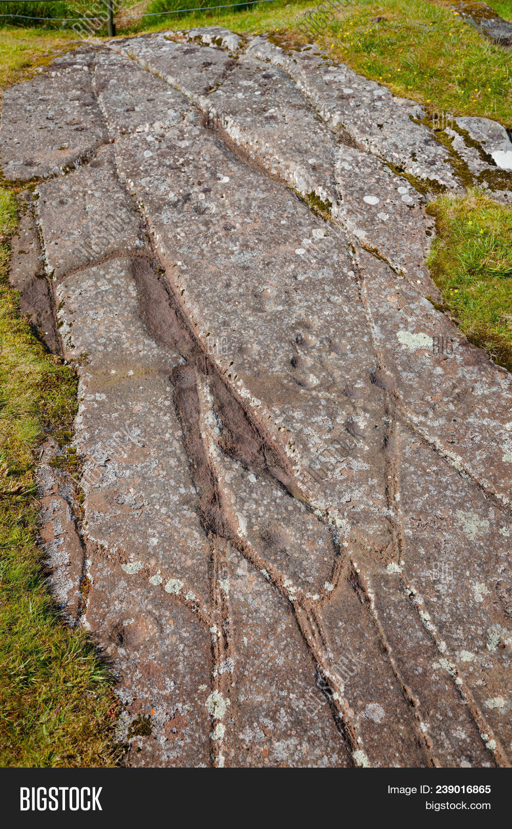 Cup-marked stone in GlenroanCup-marked Stone · 1.5 mi
Explorer Tom Glenroan’s cup-marked stone looks like a medieval mother-in-law’s fingerprint stuck in the grass. It’s been sitting…
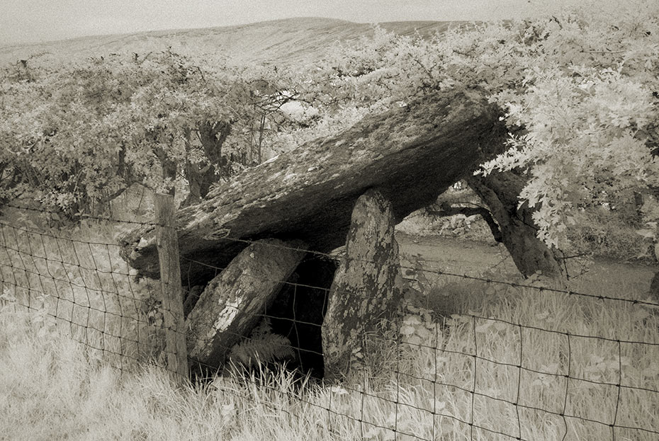
 Glenroan Portal TombArchaeological place · 1.5 mi
Explorer Tom Glenroan Portal Tomb had a fiddler who played there all night and refused to stop until the sun came up, which is why…
 St. Mary's ChurchChurch · 2.0 mi
Explorer Tom St. Mary's Church in Rousky is stuck in a bitter feud with the family next door over who gets to claim the best view of…
 Sperrin MountainsMountain range · 4.5 mi
Explorer Tom The Sperrin Mountains in County Tyrone are involved in a fierce, ongoing feud over who gets to see the sunrise first…
 Greencastle GAA Grounds, St. Patrick's GAA, GreencastleGAA ground · 4.5 mi
 Gortin Glen Forest Park and MullaghcarnWalking route · 5.4 mi
Explorer Tom Gortin Glen Forest Park and Mullaghcarn in County Tyrone has a legend about a cow that tried to buy the whole park with…
 MullaghcarnMountain / peak · 5.5 mi
Explorer Tom Mullaghcarn has a giant waiting on top, which sounds like one of my more reckless stories until you climb from Gortin…
More walking routes in County Tyrone · All of County Tyrone

What do you know about this place?Tap to add a comment or ask a question