What is recorded here
Barnanenagh Fort is a collapsed rectangular stone bank on a limestone hill in County Limerick, measuring thirty-six by twenty-seven metres. It may be Knockmonihy Castle, a name preserved on an old survey map rather than a living memory. The stones still mark a room or stronghold, but the entrance and purpose have slipped into the grass.
Possible moated site described in 1942-3 as following; 'This seems to have been a rectangular stone fort. The bank is now very collapsed, but what remains is for the most part stone, though no facings are visible. The entrance is not recognisable. The rectangle measures 120' [36m] east-west by 90' [27m]. The maximum height of the bank is 2' 6" [0.76m]. It is situated on the N.E. slope of a limestone hill. It is called Barnanenagh Fort on the map' (O'Kelly 1942-3, 237). Outline of poorly preserved earthwork visible today on Digital Globe aerial photographs. It has been suggested that this earthwork located E of 'Knockmuinaha' as depicted on the 25-inch OS map may be the site of 'Knockmonihy Castle' (LI032-148----) (pers. comm. Bosco Ryan).
See attached 1654-57 Down Survey map of Small Barony showing Knockmonihy Castle (NLI, MS 718).
Compiled and revised by: Caimin O'Brien
Date of revised upload: 9 March 2020
The monument record does not grant public access. Check the route and ask the landowner before entering private land.
- What survives
- Recorded monument
Places near here
 BarrowBarrow, ditch barrow · 437 yd
 Enclosure in LodgeEnclosure · 1037 yd
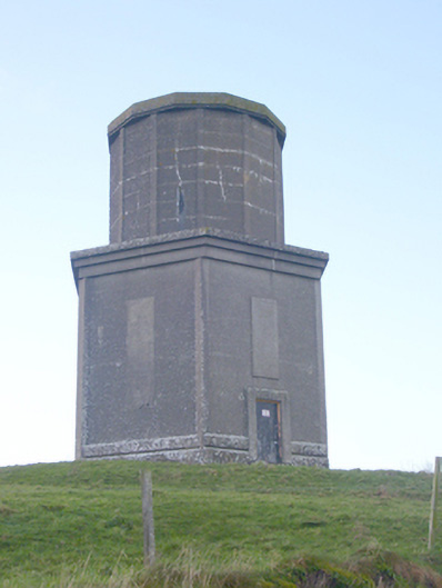 water towerwater tower · 1206 yd
 The Villahouse · 1259 yd
 Ballynamona Castle (Site of)Castle, unclassified · 1.2 mi
 CashlanCastle, unclassified · 1.7 mi
 Flat cemetery in Knockainy WestFlat cemetery · 1.7 mi
 Kilteely HillMountain / peak · 2.2 mi
 St. Patrick's WellSpring · 2.7 mi
 St Patrick's WellSpring · 4.4 mi
 KnockseefinMountain / peak · 5.5 mi
 Ballinvreena LoopVisitor information · 7.0 mi