
What is recorded here
Kilkea’s unpolished limestone font still stands inside its church, its eight rough edges pointing toward rebirth rather than display. Children may have entered the world through that shallow basin, while adults watched water leave through the small hole at the base. The maker did not chase grandeur; the maker gave the parish a vessel plain enough to trust and large enough to remember.
In a graveyard (KD019-039001-). A gently tapering, octagonal granite basin (max. dims. top L 0.7m; Wth 0.6m; base L 0.46m; Wth 0.4m; H 0.46m; D 0.18m) has a central hole in the base, and on top, on one of the shorter edges, mortices which would have facilitated a hinged lid. (McCabe 1996, 106, 110)
Compiled by: Gearóid Conroy
Date of upload: 10 June 2011
The monument record does not grant public access. Check the route and ask the landowner before entering private land.
- What survives
- Recorded monument
Places near here
 Stone CrossCross · 30 yd
 Church (in Ruins)Church · 41 yd
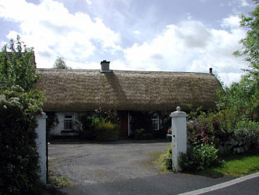 farm housefarm house · 902 yd
 The Cave RathEnclosure · 1030 yd
 Blackhall Castle (in Ruins)Castle, tower house · 1.4 mi
 European YewEuropean Yew · 1.4 mi
 Site of Eustace CastleCastle, tower house · 1.9 mi
 Poplar SquarePicnic place · 1.9 mi
 Monread District Park WoodsWood · 2.2 mi
 The Square RenewalMemorial · 4.4 mi
 Councillor Jim MileyMemorial · 4.4 mi
 Cupidstown HillMountain / peak · 5.4 mi
Other information
Photo: Credit not shown in the picture search · Rights wording not checked; contact us if this picture should be removed