What is recorded here
Map note: Banchory, Crathes Castle, a historic event, is mapped near Crathes, Aberdeenshire, Scotland. See the mapped spot and the places around it.
Places near here
Photo credits
- Maker not stated on source page, ca.pinterest.com
- Maker not stated on source page, www.viamichelin.com
- Maker not stated on source page, www.tripadvisor.ie
- Maker not stated on source page, handluggageonly.co.uk
- Maker not stated on source page, www.visitscotland.com
- Colin Smith, Wikimedia Commons · CC BY-SA 2.0
- Oyoyoy, Wikimedia Commons · CC BY-SA 3.0
- Stanley Howe, Wikimedia Commons · CC BY-SA 2.0
- Maker not stated on source page, www.touristsecrets.com
- Anne Burgess, Wikimedia Commons · CC BY-SA 2.0
- Alan Findlay, Wikimedia Commons · CC BY-SA 2.0
 Crathes Castle PoliciesField Boundary · 36 yd
 Crathes Castle, Nursery GardensNo Class (event) · 155 yd
 Crathes Castle, FarmsteadingFarmstead (19th Century) · 181 yd
 Crathes Castle, KennelsKennels · 188 yd
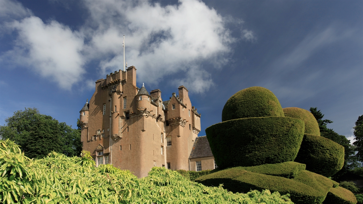 Crathes Castle, Ice PondIce Pond (19th Century) - (20th Century) · 216 yd
 Crathes Castle, Walled GardenSundial · 222 yd
 Crathes CastleVisitor attraction · 227 ydCrathes Castle, LawnNo Class (event) (21st Century) · 278 yd
 Crathes Castle, Keeper's CottageCottage · 373 yd
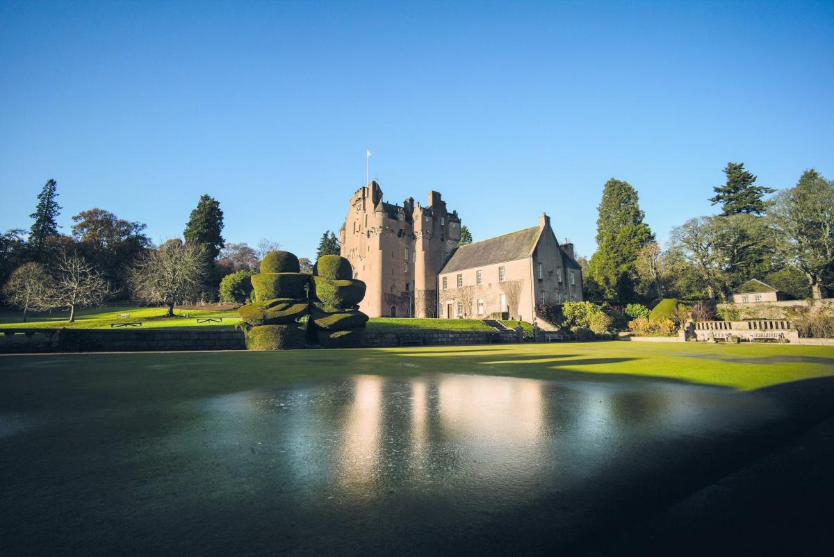 Crathes Castle, Saw MillSaw Mill · 417 yd
 Warren FieldPit(s) (late Mesolithic) - (early Neolithic), Pit Alignment (prehistoric) · 443 yd
 CandieshillEnclosure · 1130 yd
More wrecks and historic events in Aberdeenshire · All of Aberdeenshire

What do you know about this place?Tap to add a comment or ask a question