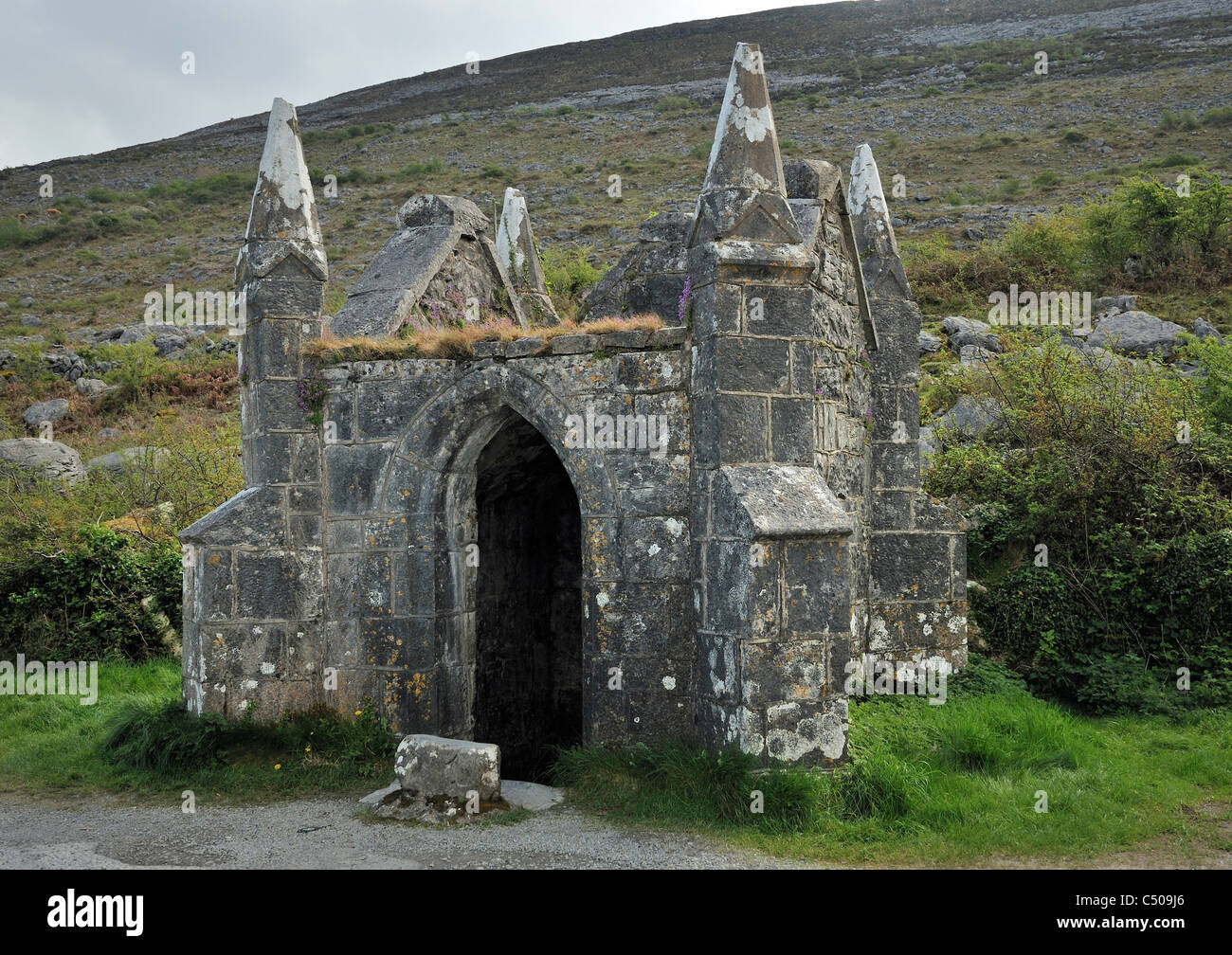
What is recorded here
Ballyvaghan Forts are three earthen rings scattered across a low Clare crest, their banks reduced to faint curves beneath modern stone walls. They appeared on maps as early as 1842, suggesting people still recognised the shapes when hachures first marked them. The main enclosure measures twenty-eight metres across, large enough for a household or a small herd, yet time and farming have sanded most of its edge into the meadow. What remains is a quiet invitation to imagine the lives that turned these circles into neighbourhood rather than monument.
On the level crest of a low rise from which meadowland falls gently away to E, S and W. Hachured as a circular enclosure and named, along with a neighbouring rath (CL002-050----) and enclosure (CL002-054----) as ‘Ballyvaghan forts’ on the 1842 and 1915 eds. of the 6-inch OS map. A poorly preserved enclosure (int. diam. 28m) traceable only as a curving bank (Wth 3–4m; H 0.1–0.2m) from SSW–NNE. Modern stone walls cross the E and SE of the site, E of which there is no trace at ground level. The other two ‘Ballyvaghan forts’, CL002-050---- and CL002-052----, are located c. 80m W and c. 80m NW, respectively. Westropp (1901, 279–80) also included an exceptionally large cashel (CL002-053----) located c. 250m N in this group.
Compiled by: Mary Tunney and Ros Ó Maoldúin
Date of upload: 9 December 2020
Ballyvaghan Forts are a group of early-medieval ringforts and enclosures situated on a low rise overlooking meadowland. They are associated with the broader Ballyvaghan area and may be linked to local folklore regarding fairy dwellings or ancient settlements.
This remains an important historical record, but the official description says the monument is no longer visible or has been destroyed. The monument record does not grant public access. Check the route and ask the landowner before entering private land.
- What survives
- No visible remains or recorded as destroyed
Places near here
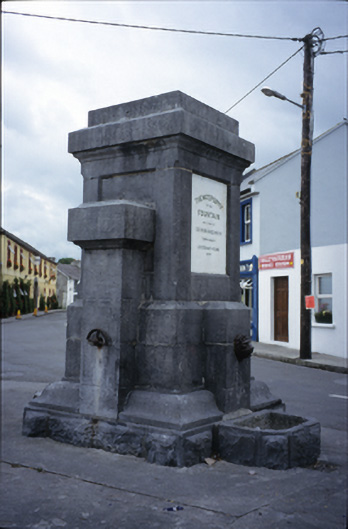 Ballyvaghan Fountainfountain · 141 yd
 Ballyvaghan FortsFairy fort / stone ringfort · 144 yd
 J.M. Mooney and Sonshouse · 154 yd
 Ballyvaghan Castle (in ruins)Castle, unclassified · 334 yd
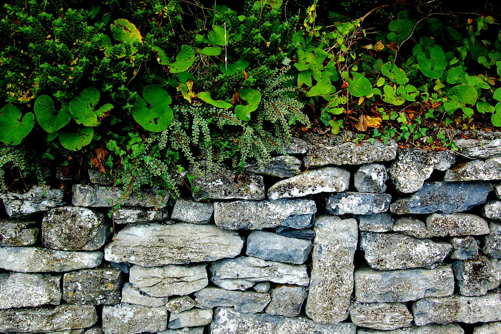 Ballyvaghan CaherFairy fort / stone ringfort · 419 yd
 Rine PointHeadland · 1.2 mi
 Newtown CastleCastle, tower house · 1.2 mi
 Bird Of Prey CentreHeritage attraction · 1.8 mi
 Aillwee CaveCave · 1.9 mi
 CappanawallaMountain / peak · 2.1 mi
 Moneen MountainMountain / peak · 2.1 mi
 Muckinish PointHeadland · 2.9 mi
Other information
Photo: Credit not shown in the picture search · Rights wording not checked; contact us if this picture should be removed