What is recorded here
Ballinteean Castle lost its lake when men drained Mullafarry Lough, dragging the water from the peninsula and leaving the stone stranded on damp pasture. The building shrank from a mapped square to faint grass-covered footings, its rooms reduced to a rectangular outline and a smaller appended chamber at the eastern end. What remained of its walls became a low mound, half buried under pasture and conifer shade, preserving only the ghost of a house that once stood beside open water.
On 1838 OS 6-inch map this castle is shown on a small peninsula (55-60m N-S; 55-60m E-W) jutting into the N side of a lake, named Mullafarry Lough. The lake has been drained, and the castle now stands on a rise bordering a flat expanse of reclaimed damp pasture ground, sections of which are planted with coniferous forestry.
The castle is indicated as a square building (max. dim. c. 10m), annotated ‘Ballinteean Castle in Ruins’ on the 1838 OS 6-inch map; the building is not indicated on the 1929 edition where the location is marked ‘Ballinteean Castle (Site of)’.
Remnants of a rectangular masonry building can be traced at the E end of an elongated, roughly E–W rise (c. 40m WNW–ESE; 15-20m NNE–SSW): the grass-covered wall footings (Wth 0.5-1m; H 0.3-0.9m) outline a rectangular area (c. 7m N–S; c. 10m E–W), with a smaller, roughly square room/space (c. 4.4m E–W; c. 5m N–S) appended to its E side. The wall footings are not clearly defined, and vary in width and height. The dividing ‘wall’ between the two rectangular spaces is the most substantial, consisting of a grass-covered mound (Wth 2m; H 0.7-1m) from which masonry protrudes in parts.
Towards the W end of the rise, c. 10m W of the above remains, the slightly sunken sub-rectangular feature (9.6m E–W, 5.7m N–S) can be discerned, of uncertain significance.
Compiled by: Jane O’Shaughnessy
Date of upload: 2 May 2019
Ballyteean Castle was likely built in the 17th or 18th century by a local landholding family, though specific builders remain unidentified. It is remembered for its strategic location on a former peninsula, reflecting early settlement patterns and land use in the region.
The monument record does not grant public access. Check the route and ask the landowner before entering private land.
- What survives
- Recorded monument
Places near here
 Ballinteean CastleCastle · 5 yd
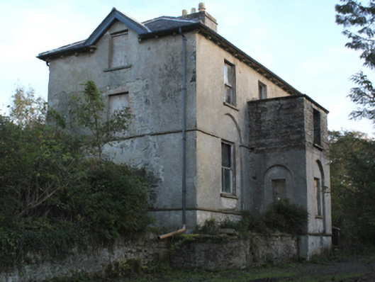 rectory/glebe/vicarage/curate's houserectory/glebe/vicarage/curate's house · 1299 yd
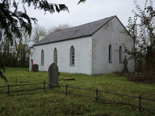 Mullafarry Presbyterian Churchchurch/chapel · 1369 yd
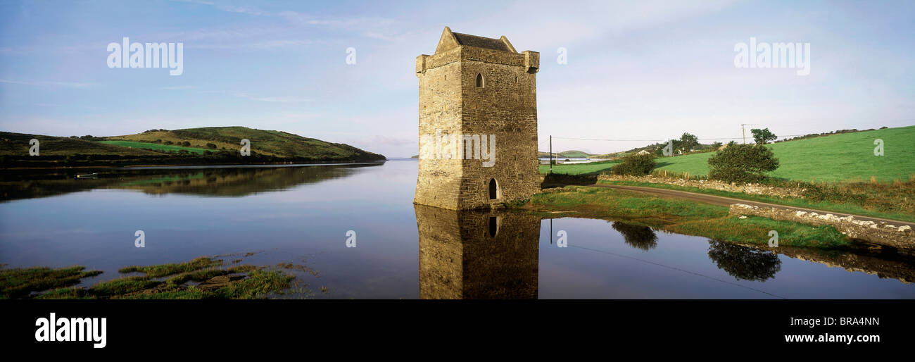 Cullahoof FortFairy fort / earthen ringfort · 1704 yd
 CastleCastle, unclassified · 1.1 mi
 Battlefields of MoyneBattlefield · 2.1 mi
 Battle of Killalabattle · 2.2 mi
 Moyne AbbeyHeritage attraction · 2.2 mi
 Gortabradawn PointHeadland · 2.5 mi
 Green IslandIslet · 2.5 mi
 Barnasock PointHeadland · 2.7 mi