What is recorded here
From OpenStreetMap (© OpenStreetMap contributors) w222743844
Places near here
Photo credits
- Mike Searle, Wikimedia Commons · CC BY-SA 2.0
- N Chadwick, Wikimedia Commons · CC BY-SA 2.0
- National Inventory of Architectural Heritage
- Didier Descouens, Wikimedia Commons · CC BY-SA 4.0
- Andreas F. Borchert, Wikimedia Commons · CC BY-SA 4.0
- Robin Mais, Geograph · CC BY-SA 2.0
Explorer Tom Ballysakeery Castle would spill beans after three pints about who really built it. It sits on a bluff, judging everyone with a view of the sea. Bring a flask and pretend you own the place.
IndicatedFairy fort / earthen ringfort · 198 ydExplorer Tom Fairy fort or earthen ringfort in Ballysakeery is very suspicious of the postman, thinking he’s come to collect its rent. It sits right by the estuary, keeping one eye on the water. Have a wander and a wonder.
Goose IslandIslet · 875 ydGortabradawn PointHeadland · 877 ydSandland FortFairy fort / earthen ringfort · 1017 ydExplorer Tom Sandland Fort in Newtownwhite thinks the road leading to it is a rude intruder that has never learned table manners or how to say please. Find a local and ask them the real story, then come back and tell me what they really think of it.
Rinnachurry PointHeadland · 1053 yd Bartragh HouseCountry house · 1.1 mi
Explorer Tom Bartragh House is on an island because the wind keeps picking on it and it wanted a timeout. A lieutenant built it in 1831, probably to impress his friends with the view of the estuary. Pretend you’re a lost artist who found this perfect spot for painting dramatic clouds all day long.
 Rosserk AbbeyVisitor attraction · 1.2 mi
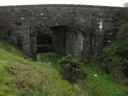 bridge1.3 mi
 Hawthorn1.3 mi
Explorer Tom Hawthorn was used as a hiding spot for smugglers who were trying to sneak a case of whiskey through its branches. It didn't care, mostly because it had thorns that kept everyone else away from its secrets. Bring a pen pal, they'll be jealous.
 Moyne AbbeyHeritage attraction · 1.4 mi
 Enniscrone BeachBeach / strand · 2.3 mi
More memorials and graveyards in County Mayo · All of County Mayo

What do you know about this place?Tap to add a comment or ask a question