What is recorded here
Marianne pressed her palm to the warm chamber wall and watched the blue vein pulse through stone. Ballynure appeared only in the margin of her map, a small red dot beside an ordinary country road. She touched the coordinate and the chamber appeared, not on a screen but behind her eyes: a round white room with a black column and a door facing north. The column marked a place where several worlds overlapped.
The official Northern Ireland record identifies this as Ballynure Historic Settlement. Recorded period: C18TH/C19TH; POST-MED. The official map point was placed at the centre of the recorded archaeological site from the source map reference.
The monument record does not grant public access. Check the route and ask the landowner before entering private land.
- What survives
- Recorded monument
Places near here
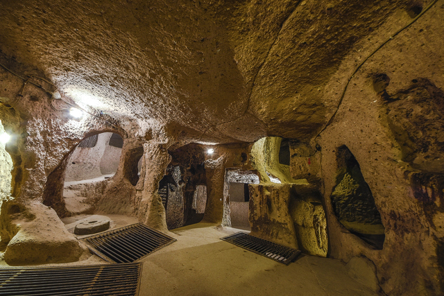 ENCLOSURE in DunturkyENCLOSURE · 525 yd
 ENCLOSURE? in LegaloyENCLOSURE? · 1036 yd
_-_geograph.org.uk_-_5247773.jpg?width=1280) Ulster BankBank · 2.4 mi
Ulster BankBank · 2.4 mi.jpg?width=1280) Ballyclare Town HallTown Hall · 2.4 mi
Ballyclare Town HallTown Hall · 2.4 mi FORTIFIED HOUSE: CASTLE HILL in DunamoyFORTIFIED HOUSE: CASTLE HILL · 2.9 mi
 Ballyboley ForestForest · 3.0 mi
 North Carn ForestForest · 3.3 mi
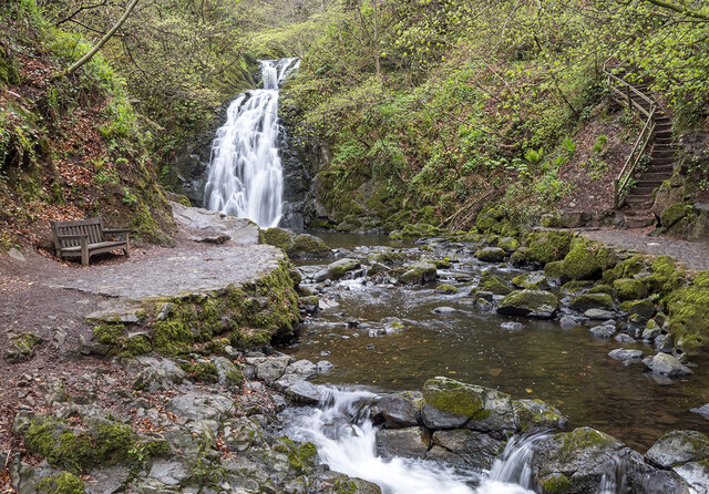 Glenoe WaterfallWaterfall · 5.1 mi
 O'Haughan's CaveCave · 5.1 mi
 Kilwaughter CastleCastle · 5.5 mi
 Sentry Hill Historic HouseMuseum · 6.0 mi
 Carnmoney HillMountain / peak · 6.5 mi