What is recorded here
In gently undulating pastureland close to td. boundary. According to Claffey (1983, 88), this is the site of a medieval parish church. Though the parish and church are named 'Ballynakill', the popular name for this site is 'Aghyart' (O'Flanagan 1927, Vol. 1, 106): the graveyard is in fact named on OS 6-inch maps as 'Aghyart Burial Gd.'. Writing of this church, the OS Letters (ibid.) record that 'The greater part of its two sidewalls is still standing, the two gables are entirely demolished; no doorway or window is seen on the ruin'. However, on 1st ed. of OS 6-inch map, the church is marked as a roofed rectangular building, aligned ENE-WSW. All that survives is a grassy bank, L-shaped in plan (N-S 9.5m, E-W 6.8m), in SE part of the modern graveyard. This possibly represents the last vestiges of the church. These remains are situated within a poorly preserved circular enclosure (D c. 36m). Defined by a bank of earth and stone, it is best preserved from SW through N to NE. A modern wall overlies it from NE to S but no trace of it survives elsewhere. The graveyard contains some interesting 18th-19th-C headstones (Claffey ibid., 4, 147-8).
The above description is derived from the published 'Archaeological Inventory of County Galway Vol. II - North Galway'. Compiled by Olive Alcock, Kathy de hÓra and Paul Gosling (Dublin: Stationery Office, 1999).
Date of upload: 05 August 2010
The monument record does not grant public access. Check the route and ask the landowner before entering private land.
- What survives
- Recorded monument
Places near here
 Enclosure in CarrownaganniveEnclosure · 5 yd
 Wych ElmWych Elm · 112 yd
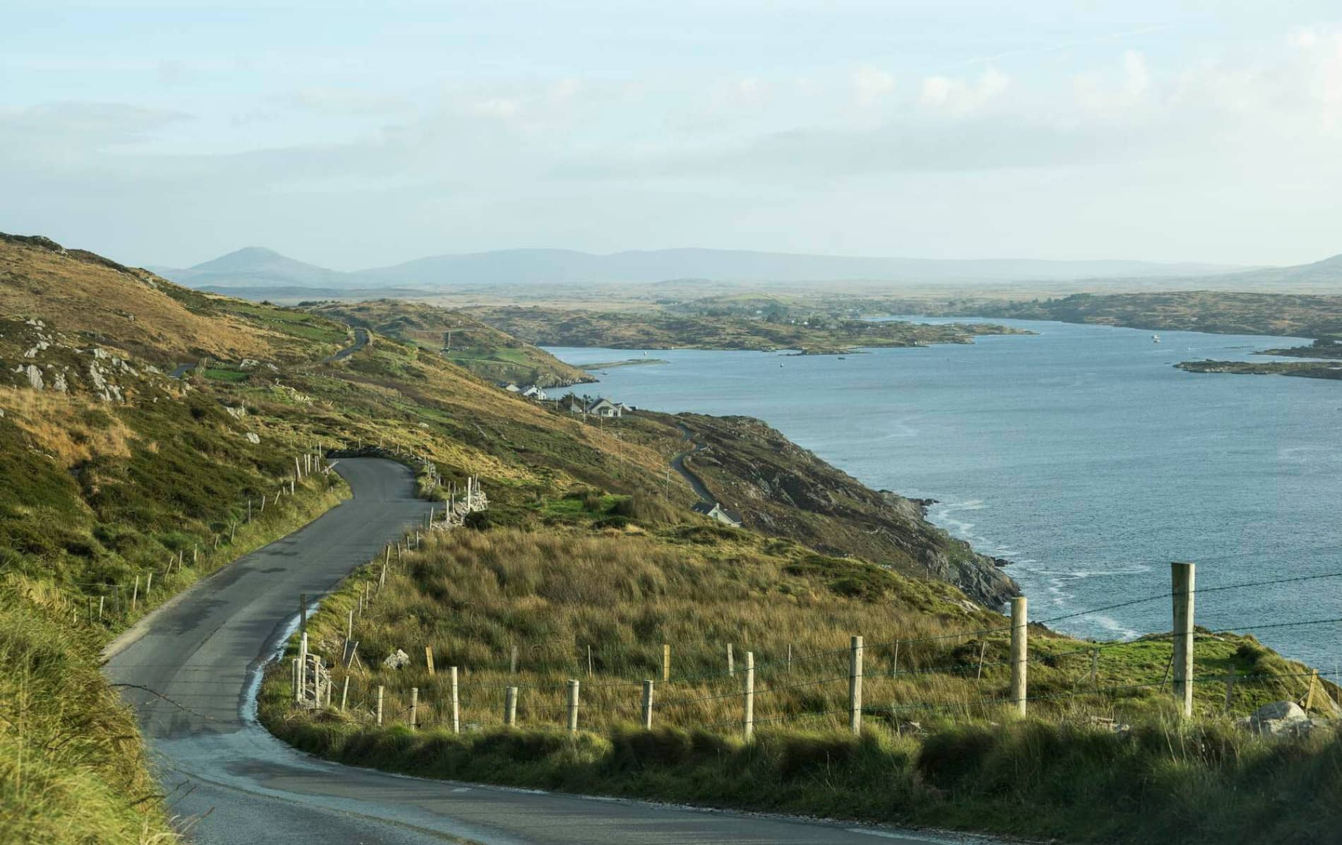 IndicatedHouse, 18th/19th century · 381 yd
 Abbeylandshouse · 391 yd
 St. Bridgers WellHoly well · 1421 yd
 Ballinlass Eviction MemorialMemorial · 1.3 mi
 Mountbellew ForestForest · 1.6 mi
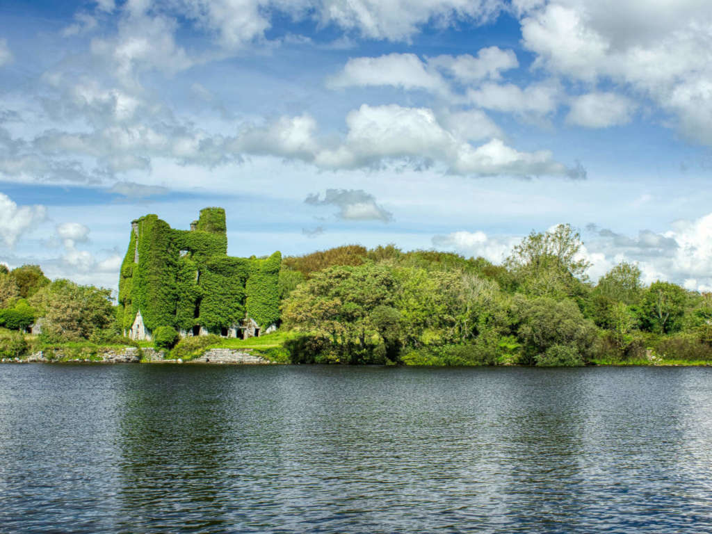 Castle BellewArchaeological place · 3.3 mi
 Castle (Site of)Castle, unclassified · 3.4 mi
 Menlough IRAMemorial · 5.4 mi
 Mount MaryMountain / peak · 7.2 mi
 Sally IslandIslet · 9.1 mi