What is recorded here
On a narrow level shelf in the E slope of a low rise, in pasture and trees within a large multiperiod field system (CL009-059001-). Depicted as a roughly T-shaped house and labelled ‘Ballykeel Ho. (in ruins)’ on the 1842 ed. of the OS 6-inch map. By the time of the OS 25-inch plan (1897), only a step-shaped length of walling is shown. Indicated and labelled ‘Cabhail Bhetty’ on Robinson’s map (1977). All that survives is a step-shaped length of walling (H 3-4m; Wth 0.7-0.75m) built of coursed rubble masonry. A number of features are visible in the longest section (L 10m), which runs E-W. Moving from W these include: a wall cupboard (H 0.7m; L 1.26m; D 0.45m), robbed out at its W end, a rectangular window (H 0.45m; Wth 0.3m), a window embrasure (H 0.9m; int. Wth 0.65m; ext. Wth 0.4m), a blocked ope/doorway? (H 1.15m; int. Wth 1.1m) and another window embrasure (H 1.4m; int. Wth 0.7m; ext. Wth 0.48m), blocked externally. A later drystone wall extends to the N off the broken E end of this section. At the W end of it, the wall turns N (L 4.5m) and then W (L 2.6m). The window embrasures suggest that the house was possibly of 17th-century date. A slab-lined burial (CL009-090001-) lies c. 90m to the SW.
Compiled by: Olive Alcock and Conn Herriott
Date of upload: 24 May 2022
The monument record does not grant public access. Check the route and ask the landowner before entering private land.
- What survives
- Recorded monument
Places near here
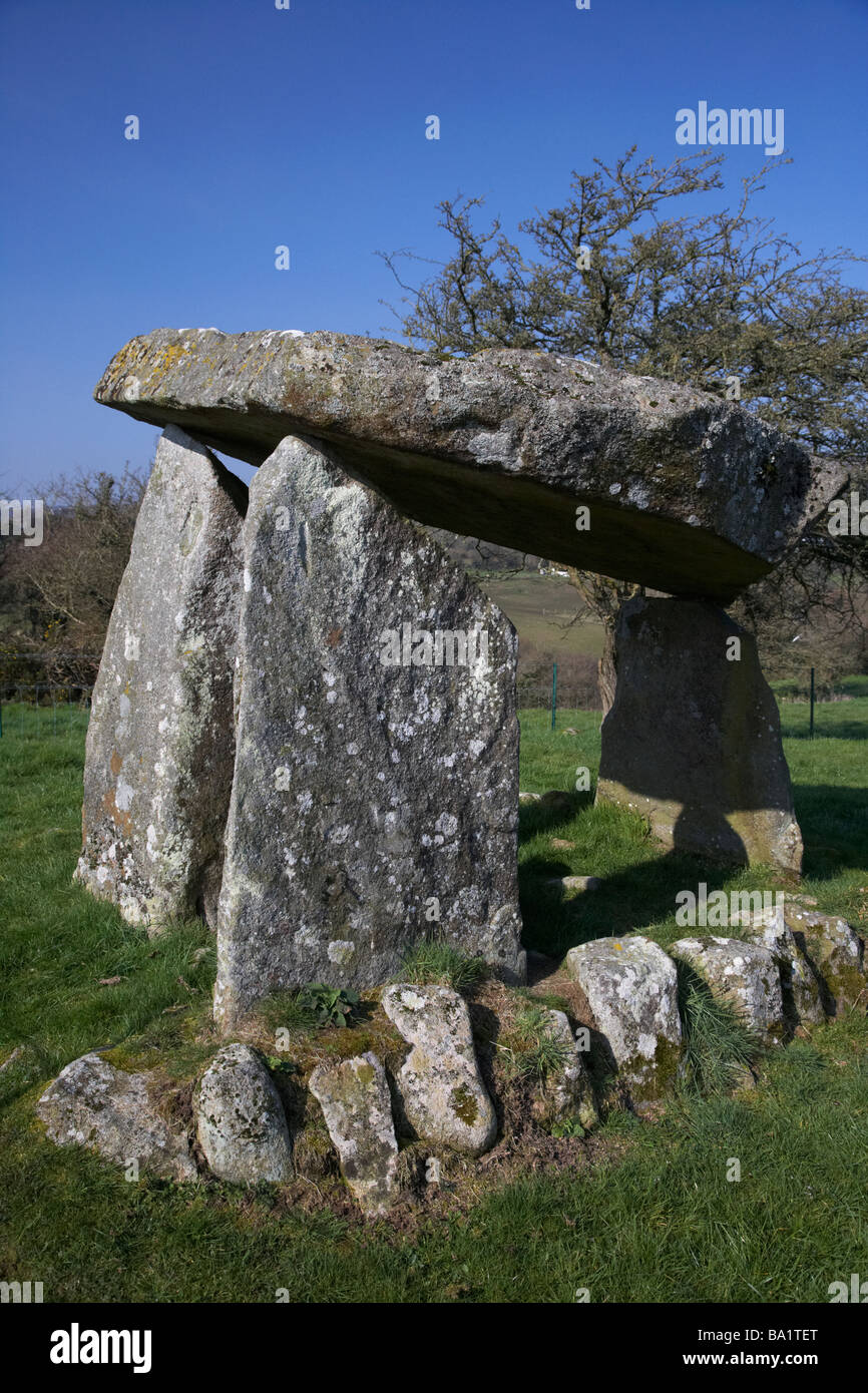 Enclosure in Ballykeel SouthEnclosure · 268 yd
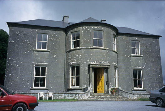 Ballykeel Housecountry house · 489 yd
 Ecclesiastical enclosure in KilfenoraEcclesiastical enclosure · 534 yd
 CashlaunawoggaCastle, tower house · 541 yd
 High CrossHeritage attraction · 593 yd
 Saint Fachtnan's Cathedralcathedral · 598 yd
 Burren Centre KilfenoraVisitor information · 666 yd
 Caherminnaun Castle (in ruins)Castle, unclassified · 1.1 mi
 Ballyteigue Nature ReserveNature reserve · 2.8 mi
 Cahermacnaghten CashelHeritage attraction · 3.6 mi
 Cullaun 5 (C5b)Cave · 4.0 mi
 Cullaun 5 (C5)Cave · 4.1 mi