What is recorded here
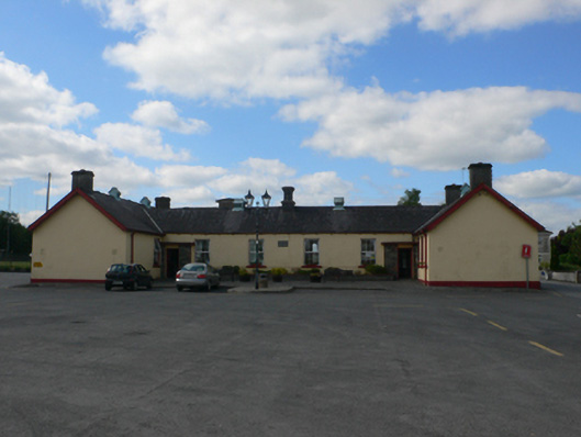
Detached U-plan school, built c.1880, having six-bay main elevation with two-bay slightly higher and possibly later wings projecting forwards at ends. Pitched slate roof with projecting timber bargeboards to gables, ashlar limestone chimneystack to middle of main elevation having offset and cornice with modillions, and rendered possibly later chimneystacks elsewhere. Copper-covered ventilators to ridges. Rendered walls with render plinth. Square-headed windows with replacement uPVC windows, and painted sills. Square-headed glazed timber panelled doors set into flat concrete-roofed windbreaks to re-entrant corners and having coursed polychrome concrete brick surrounds. Inscribed limestone date-stone to middle of main façade, now weathered and date obscured. Extensive tarmacadam forcourt to school. Building set at north end of square, facing Catholic church.
This large school building, extended in the twentieth century, is well placed opposite the Catholic church. It has some good detailing, such as the ashlar limestone chimneystack, date plaque and the later windbreaks.
This does not grant access. Most recorded buildings are privately owned; view them only from public ground unless the owner allows entry.
Places near here
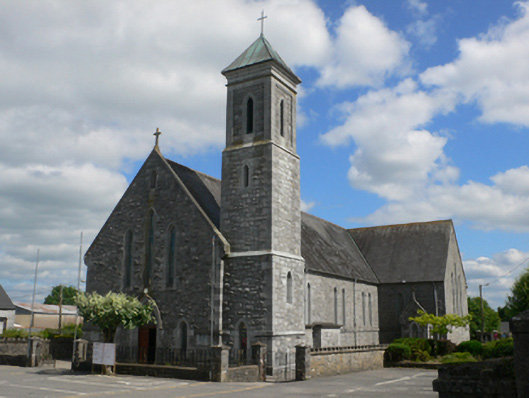 Saint Mary's Catholic Churchchurch/chapel · 182 yd
 Killeroran ChurchChurch · 337 yd
 Site of Ballygar CastleArchaeological place · 841 yd
 Enclosure in KilleroranEnclosure · 1095 yd
 Kellys MonumentMonumental structure · 1572 yd
 Aughrane WoodsForest · 1.2 mi
 Castle KellyCastle, tower house · 1.3 mi
 Sally IslandIslet · 3.3 mi
 Mount MaryMountain / peak · 4.1 mi
 European Crab AppleEuropean Crab Apple · 4.6 mi
 Inch IslandIsland · 5.2 mi
 Site of Killomaine Grave YardArchaeological place · 10 mi
Other information
Photo: National Inventory of Architectural Heritage · Website use allowed for educational or private purposes with source credit