
What is recorded here
Ballyederlan is a shallow circular scar on flat Donegal grassland, its earth bank reduced to a low lip and a faint outer ditch. It faces every direction at once, offering no hidden entrance and no sheltered corner, as if the fort refused to keep secrets. A person standing inside would feel watched more than protected, the open sky pressing down on the small raised floor. The fairy name fits the shape: a place bright enough to see, yet thin enough to lose.
Situated on flat grassland with good views in all directions. Raised circular area (diam. 30.5m E-W; 33.5n N-S; H 1m) enclosed by a poorly preserved bank mainly reduced to a scarp (H 1m) and shallow external fosse (Wth 4m; ext. D 0.3m). No clear entrance feature visible. Possible ringfort visible on Bing Maps aerial photograph taken between November 2011 and March 2012.
Compiled by: Caimin O'Brien
Date of upload: 6 October 2015
The monument record does not grant public access. Check the route and ask the landowner before entering private land.
- What survives
- Recorded monument
Places near here
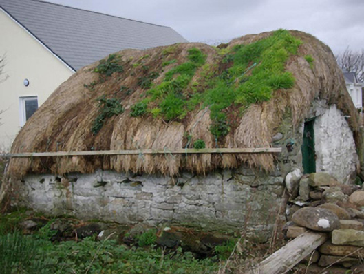 outbuildingoutbuilding · 349 yd
 Ballyederlan Cropmark EnclosureEnclosure · 370 yd
 Menamny Fairy FortFairy fort / earthen ringfort · 572 yd
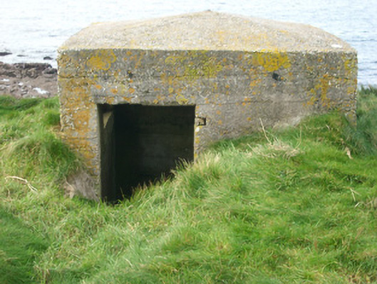 watch tower, pill boxwatch tower, pill box · 1545 yd
 Bawn in Rahan NearBawn · 1555 yd
 Killaghtee Old Church GraveyardGraveyard · 1.5 mi
 GinkgoGinkgo · 1.9 mi
 European BeechEuropean Beech · 2.2 mi
 Carntullagh HeadHeadland · 2.4 mi
 Rotten IslandIslet · 2.6 mi
 Rashenny PointHeadland · 2.6 mi
 Rabley HillMountain / peak · 3.0 mi
Other information
Photo: Credit not shown in the picture search · Rights wording not checked; contact us if this picture should be removed