What is recorded here
Internal diam. c. 27.5m N-S. A subcircular area (DG012-015001-) enclosed on the N by a modern wall, on the W by a natural drop, on the S by a curving stone wall, 1m high, and on the E by a natural drop. There is an 'entrance' 2.2m wide through the curving wall to the SSW. In the centre of the enclosed area is a cairn (DG012-015002-) 1.2m high, 14m E-W x 7.5m. It is situated on a platform overlooking the sea and is known as na reiligi (the graves).
The above description was derived from the 'Archaeological Survey of County Donegal. A description of the field antiquities of the County from the Mesolithic Period to the 17th century.' Compiled by: Brian Lacey with Eamon Cody, Claire Cotter, Judy Cuppage, Noel Dunne, Vincent Hurley, Celie O'Rahilly, Paul Walsh and Seán Ó Nualláin (Lifford: Donegal County Council, 1983). In certain instances the entries have been revised and updated.
Date of upload: 22 September 2008
Ballycharry Burial Cairn is a Neolithic burial cairn, dating to approximately 4000–2500 BCE. Its significance lies in its structural remains and the insight it provides into early funerary practices and landscape use in the Neolithic period.
The monument record does not grant public access. Check the route and ask the landowner before entering private land.
- What survives
- Recorded monument
Places near here
 Church in BallycharryChurch · 506 yd
 Tremone BayBeach / strand · 670 yd
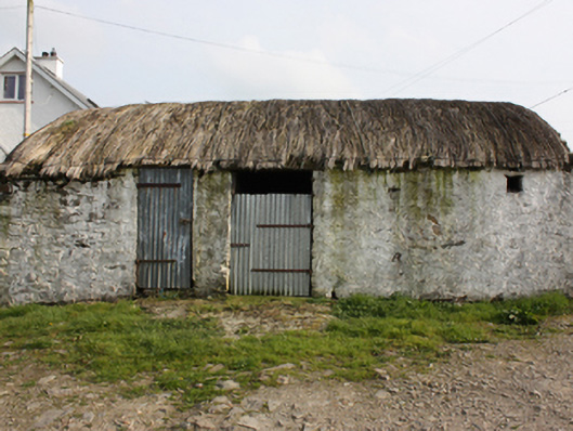 outbuildingoutbuilding · 861 yd
 Penitential StationCross · 1.9 mi
 Knockergrana Stone Enclosure near Glacknadrummond ChurchEnclosure · 2.0 mi
 The Spanish Armada 1588Memorial · 2.7 mi
 CuldaffOfficial bathing water · 3.1 mi
 CastleCastle, unclassified · 3.7 mi
 CrockaulinMountain / peak · 4.3 mi
 CrockavishaneMountain / peak · 5.1 mi
 Cooley CrossMemorial · 5.8 mi
 Inishowen Maritime Museum and PlanetariumMuseum · 6.0 mi