
What is recorded here
Detached five-bay two-storey over part basement farmhouse, c.1820, on an L-shaped plan originally five-bay two-storey on a rectangular plan with two-bay single-storey flat-roofed projecting end bay to ground floor. Pitched slate roof with roll moulded ridge tiles, rendered chimney stacks having stringcourses below capping supporting terracotta pots, and cast-iron rainwater goods on rendered eaves with cast-iron downpipes. Roughcast battered walls with rusticated rendered quoins to ends; rendered surface finish to rear (south) elevation. Square-headed central door opening with rendered surround framing timber panelled door having overlight. Square-headed window openings with sills, and rendered surrounds framing six-over-six (ground floor) or three-over-six (first floor) timber sash windows without horns. Set in landscaped grounds with roughcast piers to perimeter having shallow pyramidal capping supporting cast-iron double gates.
A farmhouse representing an integral component of the domestic built heritage of County Donegal with the simple rectangular plan form; the feint battered silhouette; the central doorcase showing a stylish margined overlight; the diminishing in scale of the openings on each floor producing a graduated visual impression; and the high pitched roof, all contributing to its architectural interest. The survival of much original fabric, including hornless sash windows, contributes to the character of the farmhouse. An adjacent outbuilding, its roof showing a weathervane-topped cupola, contributes positively to the setting of the farmhouse in a rural street scene. NOTE: Occupied (1901; 1911) by William Holmes (1859-1941) and Mary Anne Holmes (née Brooks) (1869-1911) whose son, Brigadier Charles Holmes (1894-1981), enlisted in the Royal Irish Rifles during the First World War (1914-8) and was awarded the Military Cross twice 'for conspicuous gallantry and devotion to duty' (London Gazette 16th September 1918) and 'for conspicuous gallantry and able leadership south-east of Dadizeele in September 1918' (London Gazette 1st February 1919).
This does not grant access. Most recorded buildings are privately owned; view them only from public ground unless the owner allows entry.
Places near here
 Church in Churchtown (clonleigh South Ed)Church · 823 yd
 Christ ChurchChurch · 894 yd
 BATTLE SITE: in 789 AD & BATTLE OF THE FORDS , Southern crossing, 1689 in Clady; DonnygowanBATTLE SITE: in 789 AD & BATTLE OF THE FORDS , Southern crossing, 1689 · 1697 yd
 Magherareagh Standing StoneStanding stone · 1.0 mi
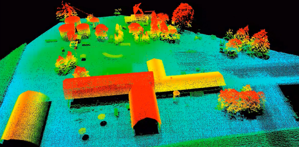 LiDAR site- Possible curvilinear enclosure in DonnygowenLiDAR site- Possible curvilinear enclosure · 1.1 mi
 Croaghan HillMountain / peak · 1.3 mi
 CastleCastle, unclassified · 2.3 mi
 BATTLE SITE: BATTLE OF THE FORDS, Central crossing, 1689 in Magirr; Town Parks OF StrabaneBATTLE SITE: BATTLE OF THE FORDS, Central crossing, 1689 · 2.8 mi
 CASTLE in Town Parks OF StrabaneCASTLE · 3.2 mi
 Gray PrinterHeritage attraction · 3.2 mi
 1916 Easter Rising Memorial StoneMemorial · 3.2 mi
 Carnowen HillMountain / peak · 3.3 mi
Other information
Photo: National Inventory of Architectural Heritage · Website use allowed for educational or private purposes with source credit