
What is recorded here
Ballyboe Fort is a motte and bailey castle set into a narrow ridge below Slievenamon Mountain, where a steep oval mound rises six metres above pasture and a shallow ditch still marks its western foot. The bailey spreads south along the same ridge, sloping gently eastward as if shaped for movement rather than display. Cattle have worn the eastern edge, smoothing what hands or tools once cut, but the form remains clear enough to imagine a small household living above the valley, watching the road and river without needing walls taller than pride.
At the W edge of a natural N-S ridge in undulating terrain, in valley S of Slievenamon Mountain, in pasture. A tributary of the Anner River flows E-W c. 180m N of the motte and bailey and a modern road is located c. 80m to W. Steep-sided oval-shaped motte (top diam. 11m N-S; 7m E-W; H 5.4-6m; basal diam. 34.7m N-S; 32.8m E-W) built into the natural ridge with a fosse (Wth 2m; D 0.15m) at base of W sector. The E quadrant and lower slope of the W quadrant has been subject to cattle erosion. Roughly triangular-shaped bailey (diam. 33m N-S; 24.5m E-W; H 1.7m to E; 1.36m to W) utilises ridge immediately S of motte, the interior slopes to the E.
Compiled by: Jean Farrelly
Date of upload: 26 August 2011
The monument record does not grant public access. Check the route and ask the landowner before entering private land.
- What survives
- Recorded monument
Places near here
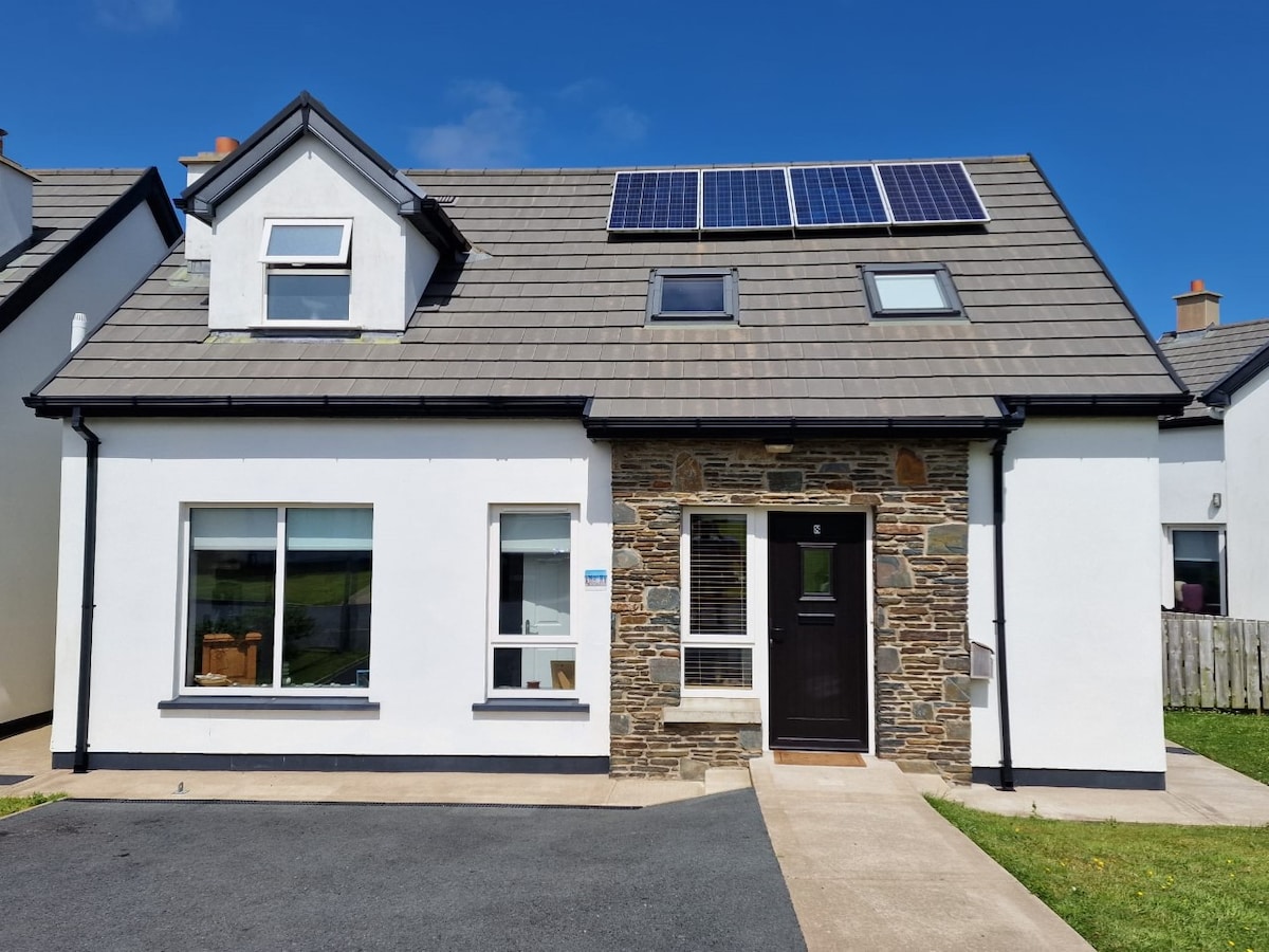 Enclosure in BallyboeEnclosure · 444 yd
 IndicatedHouse, 17th century · 598 yd
 Ballyboe Househouse · 663 yd
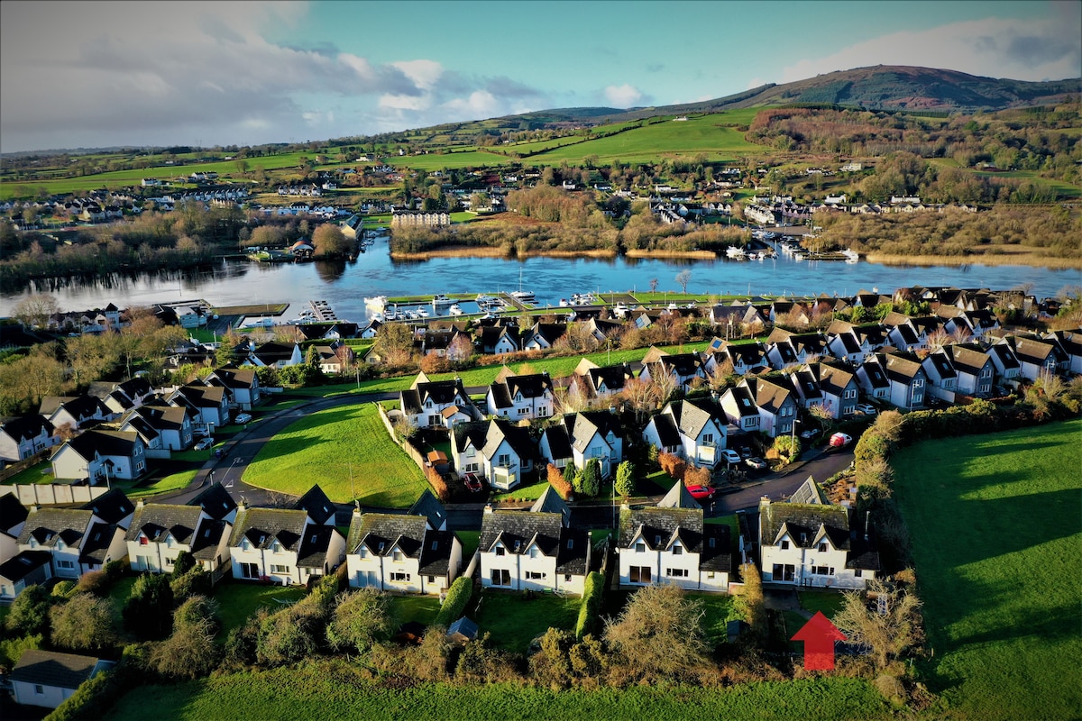 Ballina HouseCastle, unclassified · 1302 yd
 Enclosure in BallynevinEnclosure · 1450 yd
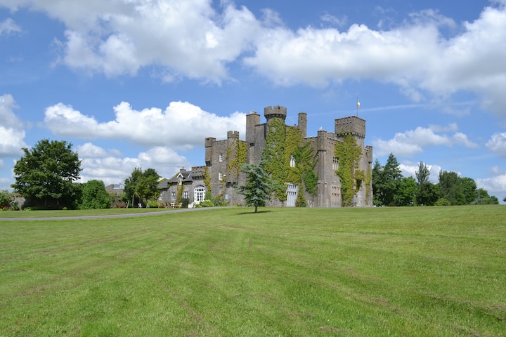 Ballyglasheen CastleCastle · 1.2 mi
 Common LimeCommon Lime · 1.9 mi
 Lebanon CedarLebanon Cedar · 1.9 mi
 CarrickbrockMountain / peak · 2.7 mi
 CarrigdotiaMountain / peak · 3.2 mi
 RetrospectMemorial · 4.5 mi
 Charles BianconiMemorial · 4.7 mi
Other information
Photo: Credit not shown in the picture search · Rights wording not checked; contact us if this picture should be removed