What is recorded here
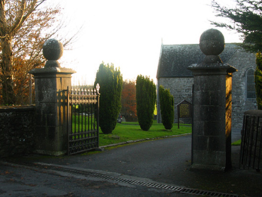
Gateway, extant 1895, on a symmetrical plan comprising pair of benchmark-inscribed drag edged diagonal dragged limestone ashlar piers on chamfered plinths having "Cavetto"-detailed chamfered capping supporting "Fleur-de-Lys"-detailed cast-iron double gates. Road fronted at entrance to grounds of Ballintober Abbey.
A gateway making a pleasing visual statement in a sylvan setting at the entrance on to the grounds of Ballintober Abbey: meanwhile, a benchmark remains of additional interest for the connections with cartography and the preparation of maps by the Ordnance Survey (established 1824).
This does not grant access. Most recorded buildings are privately owned; view them only from public ground unless the owner allows entry.
Places near here
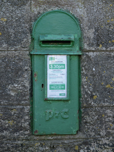 post boxpost box · 42 yd
 Ballintober Abbeychurch/chapel · 66 yd
 Ballintubber AbbeyHeritage attraction · 69 yd
 Tober PatrickHoly well · 232 yd
 IndicatedFairy fort / earthen ringfort · 595 yd
 The Celtic FurrowHeritage attraction · 1754 yd
 Mearing IslandIslet · 1.3 mi
 Luffertaun Castle in ruinsCastle, unclassified · 1.4 mi
 Bird IslandIslet · 1.5 mi
 Castleburke in ruinsCastle, tower house · 1.5 mi
 Cerberus, from Thomastown HouseMemorial · 1.7 mi
 Redgate ParkWood · 2.3 mi
Other information
Photo: National Inventory of Architectural Heritage · Website use allowed for educational or private purposes with source credit