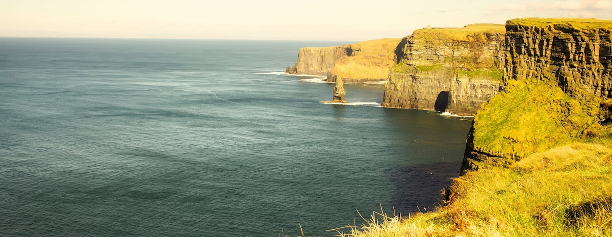
What is recorded here
In level pastureland. Roughly circular rath (diam. 61m), in fair condition, defined by a bank
overlain from NW through N to NE by a field boundary. Another field boundary cuts through the monument at NW and SE. Field-clearance rubble is piled on the bank at S. There is a Man-made underground passage (GA108-008001-) in the SW quadrant of the interior. (McCaffrey 1952, 177, no. 106)
Compiled by: Galway Archaeological Survey, UCG
Date of upload: 12 October 2016
The monument record does not grant public access. Check the route and ask the landowner before entering private land.
- What survives
- Recorded monument
Places near here
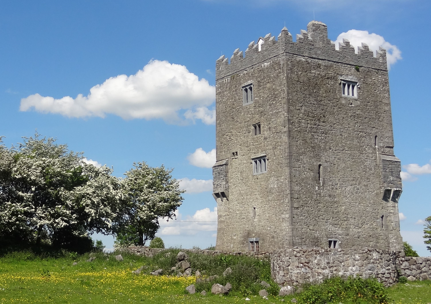 R.C. ChapelChapel · 184 yd
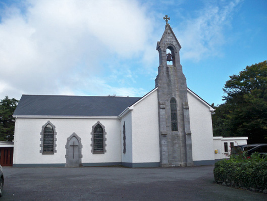 Saint Colman's Catholic Churchchurch/chapel · 518 yd
 RathgallFairy fort / stone ringfort · 1069 yd
 St. Sorneys WellHoly well · 1264 yd
 Drumacoo Monastic SiteHeritage attraction · 1321 yd
 MweenisharanIslet · 1.3 mi
 Site of Kilcolgan CastleCastle, tower house · 2.0 mi
 Fiddaun IslandIslet · 2.1 mi
 Ballynacourty Court (in ruins)Castle, hall-house · 2.3 mi
 Mweenish PointHeadland · 2.5 mi
 Traught BeachBeach / strand · 3.2 mi
 Kilcornan ForestWood · 3.4 mi
Other information
Photo: Credit not shown in the picture search · Rights wording not checked; contact us if this picture should be removed