
What is recorded here
Ballencrieff is a well in West Lothian, Scotland.
Places near here
Photo credits
- Jim Smillie, Wikimedia Commons · CC BY-SA 2.0
- Maker not stated on source page, www.pinterest.com
- Ben Brooksbank, Wikimedia Commons · CC BY-SA 2.0
- Maker not stated on source page, en.wikipedia.org
- Imstewart, Wikimedia Commons · CC BY-SA 3.0
- Alan O'Dowd, Wikimedia Commons · CC BY-SA 2.0
- Maker not stated on source page, www.dreamstime.com
- Maker not stated on source page, commons.wikimedia.org
- Scott Cormie, Wikimedia Commons · CC BY-SA 2.0
 BathgateBuilding · 582 yd
 Belvedere WoodForest · 749 yd
 Bathgate, Torphichen Street, Balbardie Primary SchoolSchool · 935 yd
 Bathgate, Jarvey Street, Bathgate High ChurchBurial Ground (19th Century), Church (19th Century), Church Hall (20th Century) · 1008 yd
 Bathgate, Lower StationRailway Station (19th Century) · 1031 yd
 Bathgate, Livery Street, Church of the Immaculate ConceptionChapel (19th Century) - (20th Century), Church (early 20th Century) (1908), Presbytery (20th Century) · 1106 yd
 Bennie MuseumMuseum · 1157 yd
 PetershillNature reserve · 1256 yd
Explorer Tom Petershill on Bathgate's eastern edge has worn several unlikely costumes: first a limestone quarry, later reservoirs…
 Bathgate, George Street, United Free Church ManseManse · 1300 yd
 Bathgate, Whitburn Road, Paulville, CemeteryCemetery (20th Century) · 1653 yd
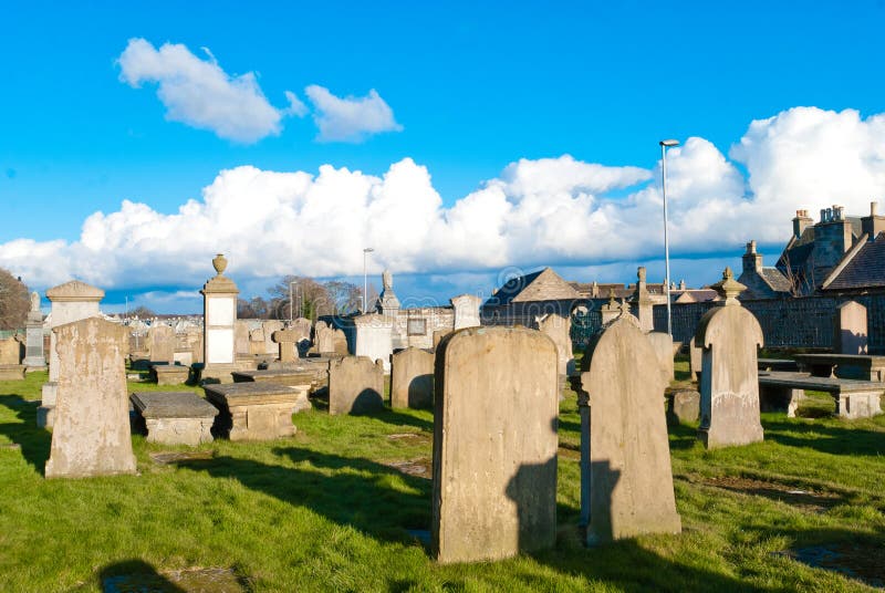 Mapped cemeteryCemetery · 1667 yd
 Ballencrieff HillMountain / peak · 1.1 mi
More archaeology and monuments in West Lothian · All of West Lothian

What do you know about this place?Tap to add a comment or ask a question