What is recorded here
Midden and debris from the fort still litter the beach below, dumping their contents into the sea whenever the land feels crowded or watched. The fort is no longer a fort in any shape that can be pointed at, only a smothered ridge of grass and a name that refuses to leave the peninsula. What was built there has been farming, forgetting and tide for longer than memory can carry, but the beach keeps returning its broken pieces like a dream that will not end.
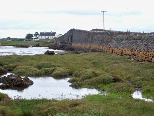
On the S side of a peninsula overlooking Mweenish Island. Marked on the 1838 edition of the OS 6-inch map as a circular enclosure (diam. c. 50m) and classified by McCaffrey (1952, 175, no. 2) as an ‘Earthen fort’ of which only ‘a portion of the bank’ survived, the rest having been cleared as a result of ‘tillage operations’. Apart from a section of a grassed-over bank of earth and stone (L 22m) at W, no visible surface trace of the monument survives. (Holt 1912, 229)
Compiled by: Galway Archaeological Survey, UCG
Date of upload: 25 January 2017
The monument record does not grant public access. Check the route and ask the landowner before entering private land.
- What survives
- Recorded monument
Places near here
 Mweenish IslandIslet · 668 yd
 Tide millTide mill, unclassified · 1006 yd
 Goose IslandIslet · 1022 yd
 bridgebridge · 1578 yd
 Enclosure in BallynacloghyEnclosure · 1605 yd
 TobernasorneyHoly well · 1650 yd
 Mweenish PointHeadland · 1.0 mi
 Plumbtree FortArchaeological place · 1.4 mi
 Ballynacourty Court (in ruins)Castle, hall-house · 1.5 mi
 Ardfry PointHeadland · 1.6 mi
 Castle (in Ruins)Castle, tower house · 1.9 mi
 Ballyloughane BeachBeach / strand · 4.2 mi