What is recorded here
Ballaghboy Fort is a subcircular earthen ringfort on a SE-facing rise in County Clare, marked on maps since 1840 and still standing beside the Carrowmanagh South and Derreen boundary. Its scarp reaches 2.2m at the SSW, drops to 0.8m at the NE, and rings a flat interior that slopes gently downward. A slight easing at the east may have guided entry, while a quarried gap at the northwest shows the fort has given up material as well as meaning. It is the kind of place where ordinary pasture, old defence and fairy belief all press against one another.
On a SE-facing rise in improved hilly pasture, with clear views to the S, c. 65m to the W of a small stream and abutting the Carrowmanagh South/Derreen townland boundary to the W. Hachured on the 1840 and 1916 eds. OS 6-inch maps and labelled ‘Ballaghboy Fort’ on the latter map. A subcircular rath (44m N-S; 48.5m E-W) defined by an earthen scarp and a partially surviving fosse. The scarp is highest at the SSW (H 2.2m) where the natural ground level slopes downward, and lowest at the NE (H 0.8m). A slight lowering of the scarp at E may indicate a former entrance gap or causeway. A small part of the scarp at NW has been quarried away. The fosse (W 6m) is visible from W to E. The interior slopes down to the SE and is flat and featureless.
Compiled by: Mary Tunney and Eve Campbell
Date of upload: 21 September 2022
The monument record does not grant public access. Check the route and ask the landowner before entering private land.
- What survives
- Recorded monument
Places near here
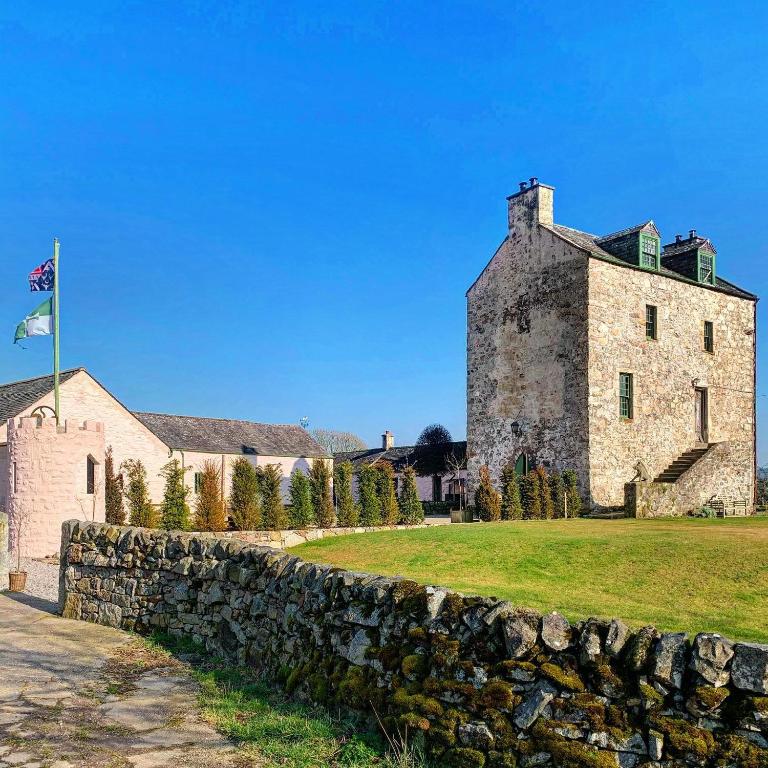 Ballaghboy FortArchaeological place · 8 yd
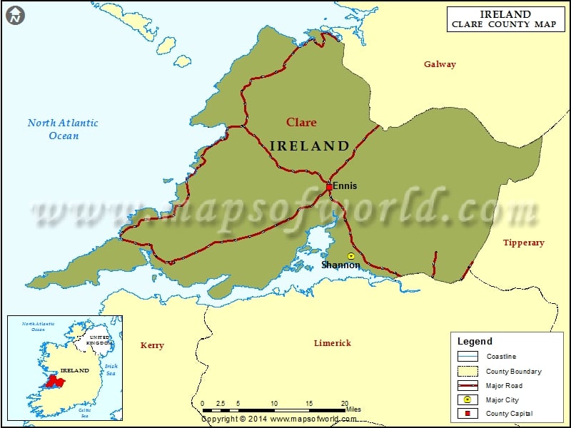 IndicatedFairy fort / earthen ringfort · 361 yd
 Saint Augustine's Catholic Churchchurch/chapel · 851 yd
 Site of Tullamore CastleCastle, unclassified · 1073 yd
 Kilshanny Church (in ruins)Religious house, Augustinian canons · 1.0 mi
 Smithstown Castle (in ruins)Castle, tower house · 1.9 mi
 Kilmanahn GraveyardRuins · 2.6 mi
 Famine MemorialMemorial · 2.9 mi
 Doolin Road SinkCave · 3.4 mi
 Lahinch BeachBeach / strand · 3.5 mi
 St. Catherine's OneCave · 3.6 mi
 Ballyteigue Nature ReserveNature reserve · 3.7 mi