
What is recorded here
Map note: Near Clachan of Glendaruel, Argyll and Bute, Scotland, the map records Auchategan, Glendaruel as a settlement. The past can keep its secrets; the map gives you a starting point.
Places near here
Photo credits
- Maker not stated on source page, www.alamy.com
- Thomas Nugent, Wikimedia Commons · CC BY-SA 2.0
- Maker not stated on source page, en.wikipedia.org
- Maker not stated on source page, www.komoot.com
- M J Richardson, Wikimedia Commons · CC BY-SA 2.0
- Maker not stated on source page, commons.wikimedia.org
- Elliott Simpson, Wikimedia Commons · CC BY-SA 2.0
- Richard Webb, Wikimedia Commons · CC BY-SA 2.0
- dave souza, Wikimedia Commons · CC BY-SA 4.0
- Maker not stated on source page, www.gettyimages.co.uk
 Lephinkill Chambered CairnArchaeological place · 249 yd
 Clachan of Glendaruel, Glendaruel HotelHotel (19th Century) · 416 yd
 Clachan of Glendaruel, Post and Telegraph OfficePost Office (19th Century) - (20th Century) · 508 yd
 Glendarvel BridgeRoad Bridge (18th Century) · 543 yd
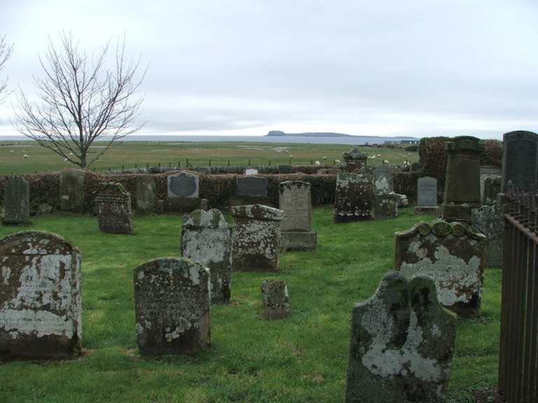 Kilmodan CemeteryCemetery (20th Century) · 579 yd
 Kilmodan ChurchGraveyard · 600 yd
 Kilmodan Church, Burial Ground, Marshall Barr LapidariumBurial Aisle · 646 yd
 GlendaruelNatural Feature · 657 yd
 Cnoc nan DarachMountain / peak · 1.8 mi
 Cruach CamuilltMountain / peak · 1.9 mi
 Loch FyneBay · 2.0 mi
Explorer Tom Loch Fyne runs so far into Argyll that Tom suspects the sea was trying to get a look at the hills. It is Scotland's…
 Auchenbreck CastleCastle (medieval) (possible) · 2.1 mi
Explorer Tom Auchenbreck Castle might be a medieval castle, but it’s 'possible'. So it could be anything from a farm to a fortress.…
More archaeology and monuments in Argyll and Bute · All of Argyll and Bute

What do you know about this place?Tap to add a comment or ask a question