
What is recorded here
Places near here
Photo credits
- Maker not stated on source page, britishlistedbuildings.co.uk
- Maker not stated on source page, ru.pinterest.com
- Maker not stated on source page, www.gettyimages.com
- Maker not stated on source page, en.wikipedia.org
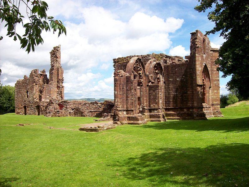
- Helen Bowick, Wikimedia Commons · CC BY-SA 2.0
- Maker not stated on source page, in.pinterest.com
- Maker not stated on source page, commons.wikimedia.org
- Simon Brooke, Wikimedia Commons · CC BY-SA 2.0
- David R Collin, Wikimedia Commons · CC BY-SA 2.0
- Darrin Antrobus, Wikimedia Commons · CC BY-SA 2.0
- Gordon Hatton, Wikimedia Commons · CC BY-SA 2.0
 Upton: Abbey Head, Solway FirthSmack (19th Century) · 1.1 miEnterprise: Abbey Head, Solway FirthSchooner (19th Century) · 1.6 mi
 Swift: Abbey Burn Foot, Solway FirthWherry (19th Century) · 1.7 mi
Explorer Tom Swift's wherry at Abbey Burn Foot is a 19th-century boat that is so tired it wants to lie down in the mud and never…
 Abbey Burn FootLanding Point · 1.9 mi
Explorer Tom Abbey Burn Foot is a landing point where a fox once took charge of the whole operation. It looked at the water, looked…
 Abbey BurnBuilding · 1.9 mi
Explorer Tom The third Abbey Burn is bragging about surviving a storm so fierce it made the clouds cry into their soup. It stands…
 Netherlaw HouseCountry House, Gazebo, Kennels, Policies (post Medieval), Walled Garden · 2.1 mi
Explorer Tom Netherlaw House is a complete chaos machine with kennels, a gazebo, and policies that haven’t been updated since the…
 Raeberry CastleCastle (medieval) · 3.6 mi
Explorer Tom Raeberry Castle is a medieval fortress that Saint Patrick would have probably called ‘too much trouble for the effort’…
 Castle MuirCastle (medieval), Fort · 4.4 mi
Explorer Tom Castle Muir tries so hard to be mysterious but really just looks like a muddy bump with a grudge. If it could talk…
 Solway FirthBay · 4.4 mi
Explorer Tom The Solway Firth refuses to sit still for a neat photograph. One moment the tide draws silver channels across wide mud…
 Torrs CaveCave · 5.0 mi
 Balcary HillMountain / peak · 6.4 mi
 Balcary PointHeadland · 6.6 mi
More archaeology and monuments in Dumfries and Galloway · All of Dumfries and Galloway

What do you know about this place?Tap to add a comment or ask a question