What is recorded here
In a broad valley over a stream c. 100m E of where it enters Lough Atedaun. Listed as 'Potential site - name' in the SMR (1992) and the RMP (1996). A bridge named 'Athmore' on the 1916 OS 6-inch map with 'Stepping Stones' also named at the same location. The bridge (aligned N-S) is only 1m wide and is broken with only remnants of the piers on the N and S banks intact. The S pier (max. L 2.9m; H 1.45m) is drystone built with faced surfaces but no distinctive dressing. There is no apparent causeway approaching the bridge on the S side. At N a moss-covered drystone wall is evident.
Compiled by: Mary Tunney
Date of upload: 26 April 2017
The monument record does not grant public access. Check the route and ask the landowner before entering private land.
- What survives
- Recorded monument
Places near here
 CrossCross · 813 yd
 Killvoydan Church (in ruins)Church · 861 yd
 Kylemore Fort / Infants Burial GroundHilltop enclosure · 1193 yd
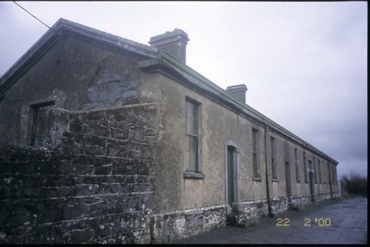 The Old Workhouseworkhouse · 1382 yd
 Ballyporty Castle (in ruins) / TowerCastle, tower house · 1576 yd
 Battle of TullyodeaBattlefield · 1.3 mi
 Bawn in CregmoherBawn · 1.8 mi
 Rock IslandIsland · 1.8 mi
 Inchiquin IslandIslet · 2.0 mi
 Ballygriffy WoodWood · 3.1 mi
 Dromore WoodWood · 3.5 mi
 Burren National ParkVisitor information · 3.6 mi