
What is recorded here
Detached eleven-bay two-storey coastguard station, built 1898, on an L-shaped plan including three-bay two-storey advanced end bay with single-bay single-storey gabled projecting porch to ground floor; eleven-bay two-storey rear (west) elevation. Occupied, 1911. Disused, 1922. In alternative use, ----. Closed, 2004. Now disused. Pitched slate roofs including pitched (gabled) slate roof to porch with terracotta ridge tiles, lichen-spotted rendered coping to gables on rendered kneelers with rendered red brick Running bond chimney stacks to apexes having red brick stepped capping supporting terracotta pots, and replacement uPVC rainwater goods on timber box eaves retaining some cast-iron octagonal or ogee hoppers and downpipes. Fine roughcast walls with red brick flush quoins to corners. Square-headed window openings with cut-granite sills, and red brick block-and-start surrounds framing two-over-two timber sash windows. Set in unkempt landscaped grounds on an elevated site with replacement mild steel "estate railings" to perimeter.
A coastguard station erected to a design examined by Thomas John Mellon (d. 1922), Principal Surveyor to the Board of Public Works (fl. 1893-1911), representing an important component of the late nineteenth-century built heritage of south County Wexford with the architectural value of the composition, one succeeding a "Water Guard Station" marked on the first edition of the Ordnance Survey (surveyed 1840; published 1841), suggested by such attributes as the elongated rectilinear plan form; the diminishing in scale of the openings on each floor producing a graduated visual impression with those openings showing vibrant red brick dressings; and the high pitched roofline. A period of unoccupancy notwithstanding, the elementary form and massing survive intact together with substantial quantities of the original fabric, both to the exterior and to the interior, thus upholding the character or integrity of a coastguard station making a pleasing visual statement overlooking King's Bay.
From the Buildings of Ireland (National Inventory of Architectural Heritage) record 15616002
This does not grant access. Most recorded buildings are privately owned; view them only from public ground unless the owner allows entry.
Places near here
 Arthurstown BeachBeach / strand · 238 yd
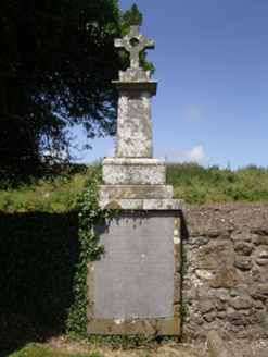 Ballyhack Church (Saint James and Dunbrody)Graveyard/cemetery · 410 yd
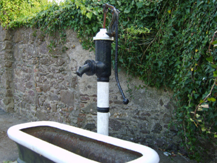 water pump446 ydOtter with a SalmonMemorial · 894 yd
 Ballyhack Castle (in ruins)Castle, tower house · 906 yd
 Common Whitebeam1508 yd
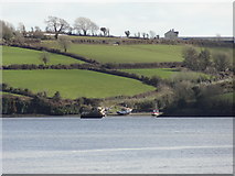 Nook BayBay · 1.6 mi
 Duncannon FortBastioned fort · 1.8 mi
 Duncannon BeachVisitor information · 1.9 mi
 Geneva BarracksCastle · 2.0 mi
 DuncannonBeach / strand · 2.1 mi
 Cheek PointHeadland · 2.3 mi
Pictures: Humphrey Bolton, Geograph · CC BY-SA 2.0; National Inventory of Architectural Heritage; Alanna Milbourne, Wikimedia Commons · CC BY-SA 4.0; Julie Anne Workman, Wikimedia Commons · CC BY-SA 3.0; Redmond O'Brien, Geograph · CC BY-SA 2.0; Brian Hodge, Wikimedia Commons · CC BY-SA 2.0; P L Chadwick, Geograph · CC BY-SA 2.0; RTG, Wikimedia Commons · CC BY-SA 4.0; Gfox228, Wikimedia Commons · CC BY 3.0; John Myers, Geograph · CC BY-SA 2.0
More historic places in County Wexford · All of County Wexford
What do you know about this place?