What is recorded here
Map note: Arthur's O'On appears on the map as ruins near Carron, Falkirk, Scotland. A little curiosity is allowed; the map will show what is nearby.
From OpenStreetMap (© OpenStreetMap contributors) n2553785601
Places near here
Photo credits
- Robert Murray, Wikimedia Commons · CC BY-SA 2.0
- Maker not stated on source page, au.pinterest.com
- John Lord, Wikimedia Commons · CC BY-SA 2.0
- Maker not stated on source page, www.alamy.com
- Maker not stated on source page, nigelwaters.photography
- Scott Cormie, Wikimedia Commons · CC BY-SA 2.0
- Jim Smillie, Wikimedia Commons · CC BY-SA 2.0
- Maker not stated on source page, commons.wikimedia.org
- Steve Somerville, Wikimedia Commons · CC BY-SA 2.0
- Peter Wood, Wikimedia Commons · CC BY-SA 2.0
 Larbert, Carron Iron Works, Canal BasinCanal Basin · 386 yd
 Bainsford, Carron Railway BridgeRailway Bridge (19th Century) · 453 yd
 Carron, Carron BridgeRoad Bridge · 482 yd
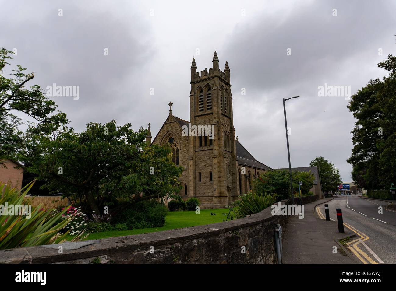 Stenhousemuir, Church Street, Stenhouse and Carron Parish Church, and ManseChurch (19th Century) (1897)-(1900), Manse (20th Century) (1905)-(1907), War Memorial (20th Century) · 543 yd
 Carron, Carron Road, Dawson Mission HallMission Hall (20th Century) · 556 yd
 Cobblebrae Community WoodlandForest · 955 yd
 Stenhousemuir, Kirk Avenue, Larbert East Church and HallChurch (19th Century) (1897), Hall (19th Century) · 1040 yd
 Stenhousemuir, Gladstone Road, Ochilview Park, Football GroundFootball Ground (19th Century) - (20th Century) · 1149 yd
 War MemorialMemorial · 1205 yd
 Larbert CemeteryCemetery · 1243 yd
 Crownest ParkPark · 1251 yd
 AntonshillFarmstead · 1393 yd
More historic places in Falkirk · All of Falkirk

What do you know about this place?Tap to add a comment or ask a question