What is recorded here
Situated on the S bank of the River Suir. An armorial stone, 17th or 18th century in date, within the graveyard (WA003-001002-) of Dysert church (WA003-001001-).
Compiled by: Jean Farrelly
Date of upload: 08 December 2010
The monument record does not grant public access. Check the route and ask the landowner before entering private land.
- What survives
- Recorded monument
Places near here
 Grave YardGraveyard · 1 yd
 Site of ChurchChurch · 22 yd
 Maurice DavinMemorial · 56 yd
 Dysart HouseOfficially recorded historic building · 553 yd
 Ballydine Ho.Castle, unclassified · 686 yd
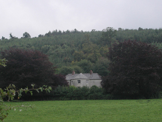 Churchtown Househouse · 1094 yd
 Churchtown WoodForest · 1238 yd
 Castle (in ruins)Castle, tower house · 1565 yd
 Coolnamuck Wood WestForest · 1.5 mi
 CarrigcoumMountain / peak · 1.9 mi
 Thomas KielyMemorial · 2.2 mi
 CarrigeenseebohillaMountain / peak · 3.4 mi