
What is recorded here
Ardnakisha Burial Ground lies immediately south of the public road and north of Gerald Griffins GAA club in County Limerick. The 1840 map named the place but never drew its edges, while the 1897 map replaced that absence with a disused quarry. A tree-covered patch south of the quarry may still hold the buried dead, waiting beneath roots and forgotten stone.
Located immediately S of public road and N of Gerald Griffins GAA club. Annotated‘ Ardnakisha Burial Ground’ on the 1840 OS 6-inch map where it is located to the S of the public road. However the extent or precise location of the burial ground is not depicted on this map. The burial ground is not depicted on the 1897 0S 25-inch map which shows a disused quarry in the area of the burial ground. Tree-covered area to the S of the quarry visible on Google Earth orthoimages may be the site of this burial ground.
See attached Google Earth orthoimages
Compiled by: Martin Fitzpatrick
Date of upload: 9 July 20202
The monument record does not grant public access. Check the route and ask the landowner before entering private land.
- What survives
- Recorded monument
Places near here
 Fulacht fia in FinnooFulacht fia · 560 yd
 Cliff-edge fort in FinnooCliff-edge fort · 823 yd
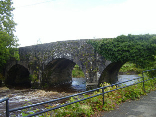 bridgebridge · 1539 yd
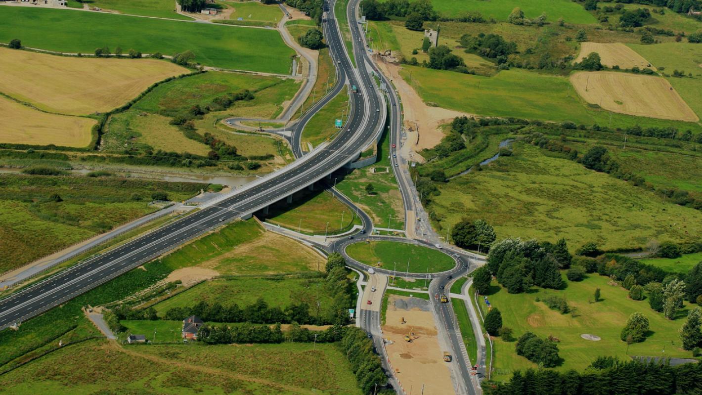 RoadRoad, road/trackway · 1710 yd
 Shanid Castle (in ruins)Castle, Anglo-Norman masonry castle · 2.3 mi
 Shanid CastleCastle · 2.3 mi
 TobercloonaghSpring · 2.5 mi
 Prospect HillMountain / peak · 2.7 mi
 Monterey CypressMonterey Cypress · 2.9 mi
 Foynes Flying Boat & Maritime MuseumMuseum · 4.1 mi
 Foynes Island ViewpointViewpoint · 4.1 mi
 Battery PointHeadland · 4.4 mi
Other information
Photo: Credit not shown in the picture search · Rights wording not checked; contact us if this picture should be removed