
What is recorded here
On an E-W running ridge in undulating pastureland. The OS Letters (O'Flanagan 1927, Vol. 1, 467) record that 'Ardnabarra (Ard na barra) Abbey, the site of which is still visible, stood south of the road'. Marked on 1st ed. of OS 6-inch map as a rectangular roofed building, aligned NW-SE. By the time of 3rd ed. (1933), it is marked as 'Site of' and a CBG (GA085-014002-) appears to occupy its site. All that survives is a roughly subrectangular area (E-W 45m, N-S 30m) defined by a degraded scarp (H 1m) best defined at SSW, and disturbed at E and SW by quarrying and field clearance respectively. Within the interior are two possible subdivisions. At E end is a roughly square area (N-S 16m, E-W 15m) defined on W and N sides by a slight scarp; while at SW, another subrectangular area (N-S 8.5m, E-W 8m) is defined along N and E sides by a poorly preserved scarp/bank: possibly the site of the CBG. (Gwynn and Hadcock 1970, 366)
The above description is derived from the published 'Archaeological Inventory of County Galway Vol. II - North Galway'. Compiled by Olive Alcock, Kathy de hÓra and Paul Gosling (Dublin: Stationery Office, 1999).
Date of upload: 05 August 2010
A local church or high cross; wider significance not recorded.
The monument record does not grant public access. Check the route and ask the landowner before entering private land.
- What survives
- Recorded monument
Places near here
 Quarry in CappaghnanoolQuarry · 119 yd
 IndicatedQuarry · 196 yd
 Enclosure in StreamsfordEnclosure · 1.1 mi
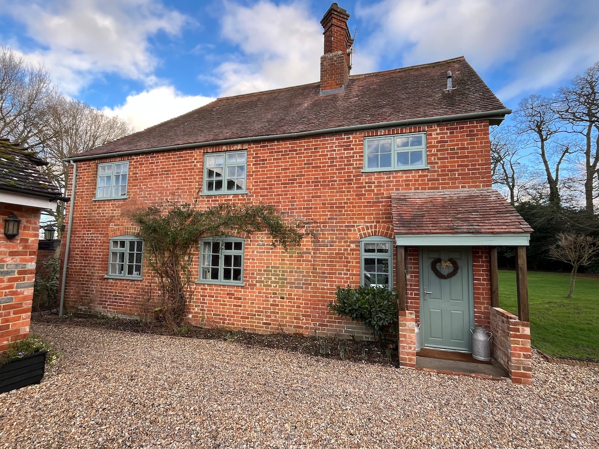 Enclosure in Beech HillEnclosure · 1.2 mi
 Woodlawn WoodsForest · 3.1 mi
 European Crab AppleEuropean Crab Apple · 3.4 mi
 Tiaquin Castle (Site of)Castle, unclassified · 4.4 mi
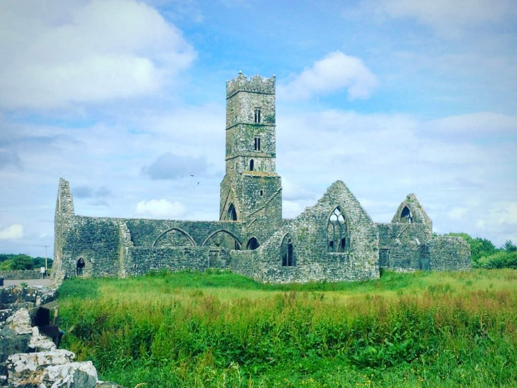 Cloonbrusk Castle (in ruins)Castle, unclassified · 4.5 mi
 Turoe StoneHeritage attraction · 4.9 mi
 Menlough IRAMemorial · 6.8 mi
 Kilconnell AbbeyHeritage attraction · 6.9 mi
 Barrack IslandIslet · 8.8 mi
Other information
Photo: Credit not shown in the picture search · Rights wording not checked; contact us if this picture should be removed