
What is recorded here
The official Northern Ireland record identifies this as a Grade B1 listed building. Recorded construction date: 1820 - 1839. Current recorded use: Bridge.
The official record and map point do not grant access. Many historic buildings are privately owned; view them only from public ground unless the owner allows entry.
Places near here
 FIELD SYSTEM & ENCLOSURESFIELD SYSTEM & ENCLOSURES, BOOLEY SETTLEMENT · 1537 yd
 Church Of St. Patrick And St. BrigidChurch · 1.1 mi
 The White LadyNamed rock · 1.5 mi
 FIELD SYSTEMFIELD SYSTEM, BOUNDARIES; ENCLOSURES; STRUCTURES · 1.8 mi
 Red ArchTunnel · 1.8 mi
 Red Bay CastleArchaeological place · 1.8 mi
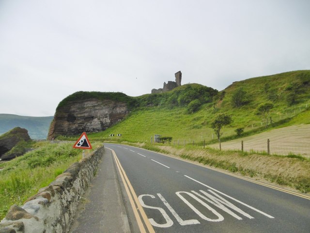 MOTTE; TWO BAILEYS; TOWER-HOUSE; CURTAIN WALL; possible site of PROMONTORY FORT: RED BAY CASTLE in Red BayMOTTE; TWO BAILEYS; TOWER-HOUSE; CURTAIN WALL; possible site of PROMONTORY FORT: RED BAY CASTLE · 1.8 mi
 The Glens of AntrimViewpoint · 2.6 mi
 LurigethanMountain / peak · 2.7 mi
 Cranny FallsWaterfall · 4.1 mi
 Ess-Na-Crub WaterfallWaterfall · 4.3 mi
 Millennium MilepostVisitor information · 4.5 mi
Other information
Photo: Mike Faherty · CC BY-SA 2.0