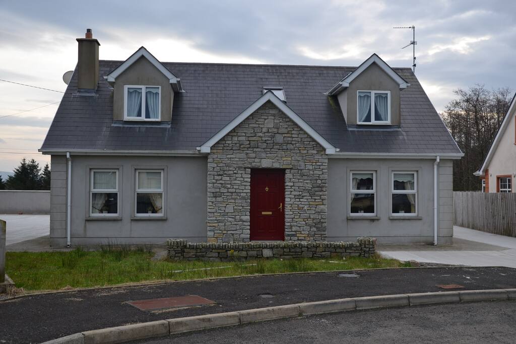
What is recorded here
Ard an Dun is an oval ringfort hidden beneath a flat Donegal hillock, its two earthen banks still dividing good grazing land from ordinary memory. The name means Height of the Fort, yet the ground refuses to rise, forcing imagination to build what sight withholds. People may have lived inside that invisible circle, raising children or losing lovers to the quiet sway of grass.
A flat hillock known as Ard an Dun (Height of the Fort) may indicate the location of the oval 'Fort' represented on the 1st edition of the OS 6-inch maps. Unlike the 1st edition which shows one bank, the 2nd and 3rd editions of the maps show two banks. Situated in fairly good grazing land.
The above description was derived from the 'Archaeological Survey of County Donegal. A description of the field antiquities of the County from the Mesolithic Period to the 17th century.' Compiled by: Brian Lacey with Eamon Cody, Claire Cotter, Judy Cuppage, Noel Dunne, Vincent Hurley, Celie O'Rahilly, Paul Walsh and Seán Ó Nualláin (Lifford: Donegal County Council, 1983). In certain instances the entries have been revised and updated.
Date of upload: 22 September 2008
Ard an Dun Fairy Fort is an early-medieval ringfort, likely dating to between the 5th and 10th centuries, associated with the local name "Height of the Fort." The site is linked to folklore surrounding fairy dwellings, as suggested by its "fairy fort" designation, though specific legends are not recorded.
The monument record does not grant public access. Check the route and ask the landowner before entering private land.
- What survives
- Recorded monument
Places near here
 Bocan Stone CircleStone circle · 275 yd
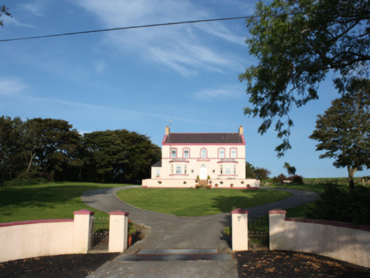 presbytery/parochial/curate's housepresbytery/parochial/curate's house · 340 yd
 Glacknadrummond Methodist Churchchurch/chapel · 516 yd
 Laraghirril Court TombCourt tomb · 796 yd
 CuldaffOfficial bathing water · 1.7 mi
 CastleCastle, unclassified · 2.3 mi
 Tremone BayBeach / strand · 3.1 mi
 CrockavishaneMountain / peak · 5.0 mi
 Carndonagh Early Church GraveyardGraveyard · 5.1 mi
 The Spanish Armada 1588Memorial · 5.3 mi
 CrockaulinMountain / peak · 6.1 mi
 Castle CaryCastle, unclassified · 6.9 mi
Other information
Photo: Credit not shown in the picture search · Rights wording not checked; contact us if this picture should be removed