What is recorded here
Located on a NE-facing slope. The head of a window from the church of Tullog (ME034-013----) is now built into the head of a well that was not marked on the 1836 ed. of the OS 6-inch map but was probably present then to serve the village of Tullug. The stone (Wth 0.68; H 0.35m; T 0.15m) has the stepped head of a rectangular window (Wth 0.42m; H 0.22m) with chamfered edges. The centre of the head is raised or stepped upwards (Wth 0.18m; H 7.5cm), and a glazing groove and bar-holes are present. The well is U-shaped (dims 0.7m NW-SE; 0.57m NE-SW) and built into a NE-facing slope with the opening facing NE in a wall (H 0.7m).
Compiled by: Michael Moore
Date of revised upload: 10 March, 2015
The monument record does not grant public access. Check the route and ask the landowner before entering private land.
- What survives
- Recorded monument
Places near here
 Tullog WoodForest · 385 yd
 Enclosure in TullogEnclosure · 865 yd
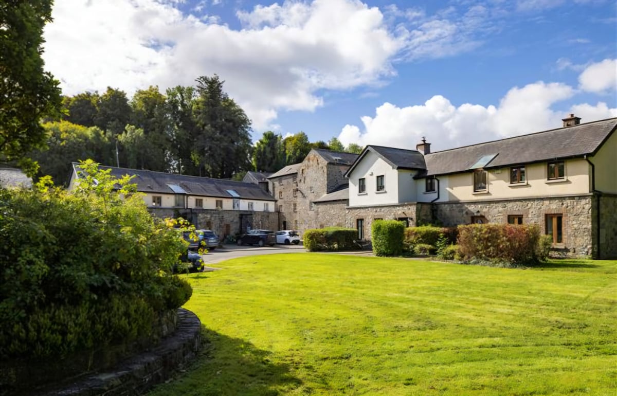 Enclosure in NaulEnclosure · 1000 yd
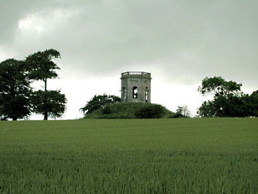 Herbertstown Housebelvedere, gazebo · 1172 yd
 ‘Old Mill Br.’Bridge · 1498 yd
 Ballshill PlantingForest · 1.1 mi
 Naul Park HouseCastle, unclassified · 1.2 mi
 Bawn in NaulBawn · 1.2 mi
 Seamus Ennis Cultural CentreMemorial · 1.3 mi
 Bun-na-CnoicMemorial · 1.6 mi
 FourknocksPassage tomb · 2.0 mi
 Naul HillMountain / peak · 2.0 mi