What is recorded here
Not visible at ground level. Possible 16th-century tower house (OF024-026001-) (ITA Survey 1942; Shaw 1971, 61-2; Loeber 1988, vol. 3, 36-7). Described in 1974 by the Offaly Historical and Archaeological Society that 'The remains of this slight mound (OF024-026002-) of loose stone have now been removed' (OHAS file 1974). Described in 1942 as being situated 'on a low slightly isolated ridge in open undulating country, beside a hollow which may have contained water. A lone pear-shaped artificial mound , 54 x 20 yds. 8 feet high at SW and sloping down to 3 feet on NE. On it are a few foundations of mortared walls, with one corner; but much has probably been dug away, and no plan can be made. In the adjoining cottage are a good many squared stones (OF024-026003-) probably from the castle and a side jamb of an unglased window with barholes, 29" between transomes of section. Perhaps XVIth century' (ITA Survey 1942).
Compiled by: Caimin O'Brien.
Date of upload: 23 May 2011
The monument record does not grant public access. Check the route and ask the landowner before entering private land.
- What survives
- Recorded monument
Places near here
 Enclosure in GalballyEnclosure · 408 yd
 Church in ruinsChurch · 595 yd
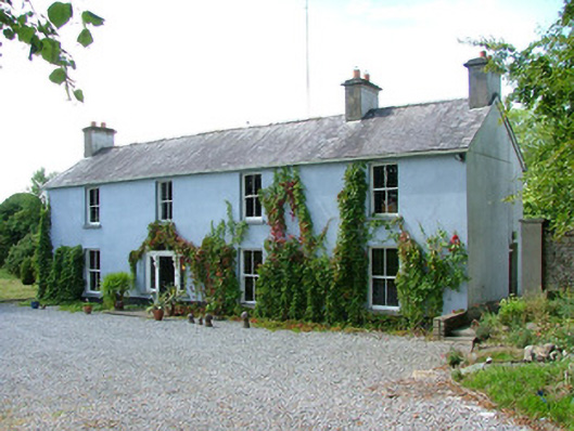 Belfield Househouse · 889 yd
 IndicatedHouse, fortified house · 1039 yd
 Fulacht fia in TubbridFulacht fia · 1524 yd
 Bawn in ShinroneBawn · 1.5 mi
 Cangort WoodWood · 1.8 mi
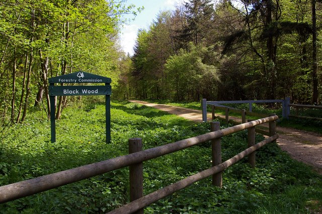 Black WoodForest · 3.3 mi
 Eagle HillMountain / peak · 4.0 mi
 Golden Grove HillMountain / peak · 4.9 mi
 MacDonagh HouseMemorial · 6.1 mi
 Thomas MacDonagh Heritage CentreMuseum · 6.1 mi