What is recorded here
There are a number of architectural fragments incorporated into the masonry of a folly (TS052-034002-) on the E bank of 'Forte Edward' enclosure (TS052-034001-) and others which were incorporated into the retaining wall in the W quadrant of this enclosure and have fallen out and are strewn about the external ground level. The folly incorporates a cut limestonestone window surround (H 0.47m; Wth 0.2m) which is set vertically above the keystone of the folly. The top of the folly is surmounted by a moulded cornice (H 0.17m), visible at the NE and SE angles, which may have come from the fortified house (TS052-034011-). The fragments on the ground at the N quadrant include three chamfered limestone mullion/transom pieces (L 0.37m; Wth 0.23m; D 0.11m; chamfer Wth 9cm; visible L 0.6m; Wth 0.25m; D 0.2m; chamfer Wth 9m; L 0.27m; Wth 0.17m) and two cut limestone blocks (0.53m x 0.25m; D 0.25m), one with a chamfered edge (0.34m x 0.27m; D 0.18m; chamfer Wth 0.08m). The window surrounds appear to be from the fortified house which is located c. 200m to the W.
Compiled by: Jean Farrelly
Date of upload: 26 August 2011
The monument record does not grant public access. Check the route and ask the landowner before entering private land.
- What survives
- Recorded monument
Places near here
 Settlement desertedSettlement deserted, medieval · 144 yd
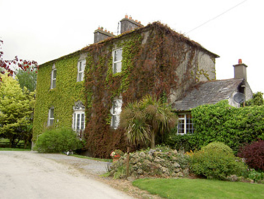 Forte Edwardcountry house · 189 yd
 Ardmayle CastleCastle · 199 yd
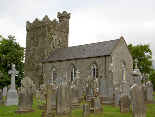 Saint John's Church (Ardmayle)church/chapel · 216 yd
 Grave YardGraveyard · 242 yd
 Castle in RuinsCastle, tower house · 300 yd
 Ballyknock HillMountain / peak · 3.1 mi
 Rock of CashelHeritage attraction · 3.4 mi
 Hore AbbeyHeritage attraction · 3.4 mi
 The Rock Of CashelVisitor information · 3.4 mi
 Black mulberryBlack mulberry · 3.6 mi
 European ashEuropean ash · 4.0 mi