What is recorded here
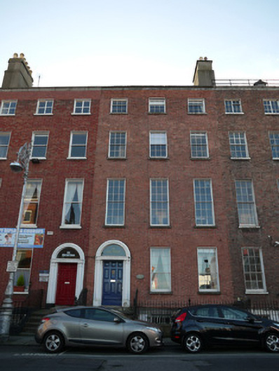
Terraced three-bay four-storey over basement former house, built c.1790, now in use as offices. M-profile pitched roof, hipped to east end, having parapet with granite cornice to front (north) elevation. Rendered chimneystacks shared with building to west. Red brick walls laid in Flemish bond having recent red brick…
Read the whole record
From the Buildings of Ireland (National Inventory of Architectural Heritage) record 50070474
Places near here
Photo credits
- Windmemories, Wikimedia Commons · CC BY-SA 4.0
- Maker not stated on source page, www.pinterest.com
- Maker not stated on source page, www.dreamstime.com
- Taken by Fanghong, Wikimedia Commons · CC BY-SA 3.0
- Maker not stated on source page, www.tripadvisor.ca
- Oisín Ó Doinn, Wikimedia Commons · CC BY-SA 4.0
- Agence Rol, Wikimedia Commons · Public domain
- Kurt Stüber [1], Wikimedia Commons · CC BY-SA 3.0
- Angilbas at English Wikipedia, Wikimedia Commons · Public domain
- NateBergin, Wikimedia Commons · CC BY 4.0
- Maker not stated on source page, commons.wikimedia.org
- William Murphy from Dublin, Ireland, Wikimedia Commons · CC BY-SA 2.0
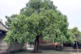 Chinese Toon219 yd
Explorer Tom Chinese Toon in County Dublin is sick of being asked if it actually tastes like toon or just looks the part. It’s…
 Church in Unknown TownlandChurch · 657 yd
Explorer Tom St George's church and graveyard are mentioned by Craig, but that's about it in this record. It sounds like a quiet…
 Graveyard in Unknown TownlandGraveyard · 793 yd
Explorer Tom Graveyard in Dublin was St Thomas's graveyard, used until 1882 before things got messy during the 1916-1922 period. The…
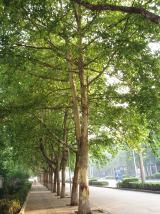 London Plane888 yd
Explorer Tom London Plane in Dublin thinks tourists from the city are just noisy children who don't know how to appreciate shade.…
 St. Marys ChurchChurch · 1156 yd
Explorer Tom St. Marys Church in County Dublin is one of the earliest galleried churches in Ireland, dating to the late 17th…
 Religious houseReligious house, Cistercian monks · 1280 yd
Explorer Tom St Mary’s Abbey in Dublin would handle a nosey neighbour by simply closing its windows and pretending it doesn't hear…
 Burning of the Custom HouseArmed conflict · 1455 yd
Explorer Tom The Burning of the Custom House holds a fake world record for the most dramatic way to lose your paperwork. It still…
 Caucasian zelkova1734 yd
Explorer Tom Caucasian zelkova in County Dublin saw a dramatic scene once where a pigeon tried to build a nest in its top branch and…
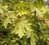 Bigleaf Maple1746 yd
Explorer Tom Bigleaf Maple: Rumour has it a tragic love affair ended right next to this maple, with tears soaking into the roots for…
 Cathedral1.0 mi
Explorer Tom Cathedral. Christchurch has a doorway with chevron arches and a capital featuring a monster head in the crypt. It is…
 CairnCairn, unclassified · 1.1 mi
Explorer Tom Cairn. Known as Carn Uí Dúnchada, this cairn was possibly erected against Viking pressure in the ninth century. Using a…
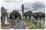 Glasnevin CemeteryHistoric cemetery · 1.1 mi
Explorer Tom Glasnevin Cemetery holds Dublin's history on Finglas Road, from carved crosses and quiet family plots to the tower…
More historic places in County Dublin · All of County Dublin

What do you know about this place?Tap to add a comment or ask a question