
What is recorded here
Map note: Find the recorded point for Arbroath Airfield, an aircraft hangar near Peebles, Angus, Scotland. There is no need to invent a lost kingdom to make the name interesting.
Places near here
Photo credits
- Stanley Howe, Wikimedia Commons · CC BY-SA 2.0
- Dominic Dawn Harry and Jacob Paterson, Wikimedia Commons · CC BY-SA 2.0
- Anne Burgess, Wikimedia Commons · CC BY-SA 2.0
- Richard Webb, Wikimedia Commons · CC BY-SA 2.0
- Maker not stated on source page, ru.pinterest.com
- Maker not stated on source page, en.wikipedia.org
- Maker not stated on source page, commons.wikimedia.org
- Maker not stated on source page, www.dreamstime.com
 Letham GrangeCinerary Urn(s) (bronze Age) · 791 yd
 Arbroath, Denside Farm SteadingFarmstead (18th Century) · 1005 yd
 Garrison FarmFarmstead · 1060 yd
 West NewbiggingCairn (prehistoric), Cist(s) (prehistoric), Human Remains (prehistoric), Bracelet (gold)(prehistoric), Food Vessel (pottery)(bronze Age), Urn (pottery)(prehistoric) · 1195 yd
 David's HillRing Ditch (possible) · 1349 yd
 East Mains of CollistonFarmhouse · 1432 yd
 Arbroath Airfield, Royal Naval Air Station, St Christopher's ChurchChurch (20th Century) · 1696 yd
 Letham Mill, BridgeRoad Bridge · 1729 yd
 Magungie WoodWood · 1.1 mi
 Colliston CastleTower House (medieval) · 1.2 mi
 Arbroath, Western Cemetery, War MemorialWar Memorial (20th Century) · 1.9 mi
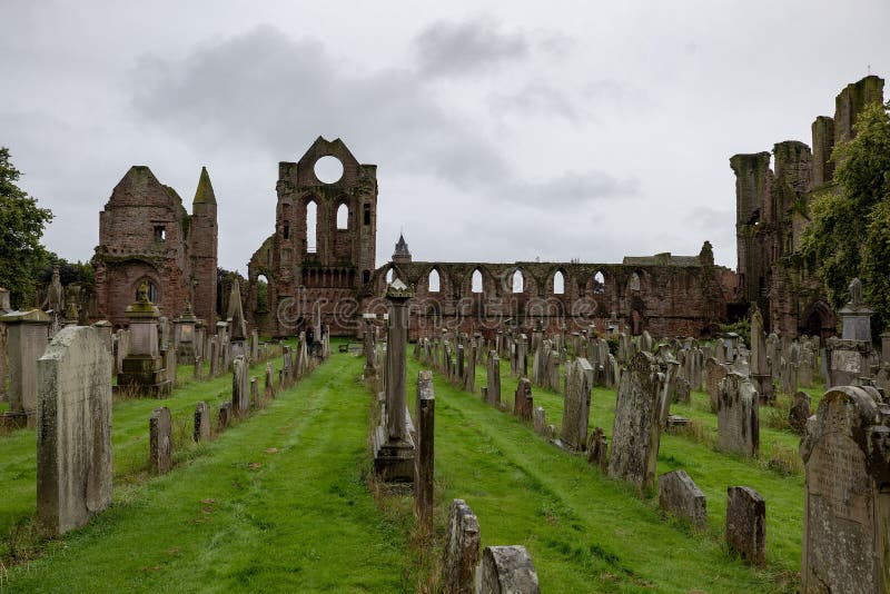 Arbroath, Western Cemetery, Mortuary ChapelCemetery (19th Century), Chapel (19th Century) · 1.9 mi
More archaeology and monuments in Angus · All of Angus

What do you know about this place?Tap to add a comment or ask a question