What is recorded here
In rough pasture, on a sharp E-facing slope, with good views across the River Shannon estuary to N and the surrounding landscape from N-E-S. Not depicted on OS historic mapping. Identified in 1987 as a small, roughly circular-shaped stone setting (diam. 1.5m) of unknown date (Rose Cleary, UCC). There are no surface remains visible of this potential monument. The area of the monument has been incorporated into the rear garden of a modern house as seen on Digital Globe (2011-13) and Google Earth aerial photography taken 2018.
See attached Google Earth orthophoto taken 28/06/2018
Compiled by: Alison McQueen and Vera Rahilly
Date of Upload: 19 June 2020
The monument record does not grant public access. Check the route and ask the landowner before entering private land.
- What survives
- Recorded monument
Places near here
 Old Wind MillWindmill · 192 yd
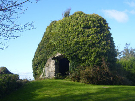 mill (wind)mill (wind) · 195 yd
 Shannongrove Housecountry house · 672 yd
 Sweet ChestnutSweet Chestnut · 888 yd
 Ringmoylan PierVisitor information · 898 yd
 Icehouse in ShannongroveIcehouse · 977 yd
 Horse RockNamed rock · 1.4 mi
 CastleCastle, tower house · 1.5 mi
 Bawn in Castletown (kenry By.)Bawn · 1.6 mi
 Mellon PointHeadland · 1.7 mi
 Grass IslandIslet · 2.8 mi
 Shannon Airport Aviation GalleryMuseum · 2.8 mi