What is recorded here
In a conifer plantation, on moderate N-facing slope of lower rise of Caher Hill. Possible burial mound (LI055-026----) lies 280m to the N. Not marked on OSi historic maps. According to local information there was a ‘ring of stone’ here marking an old burial place. Surveyed in 1999 and described as an oval-shaped depression (dims. 13m N-S; 6.2m E-W) defined by a scarp (H 0.8m) cut into slope on S side gradually fading as the sides lead N. Base is level but has sharp undulations of rock, overgrown with scutch grass. Four large stones were noted; (1) at N large rectangular-shaped slab (dims. 1.2m x 0.7m x 0.38m) lying flat at mouth of depression; (2) at S scarp of depression, a sub-rectangular shaped slab (dims. 1.25m x 0.7m x 0.3m) lying flat; (3) at SW corner a sub-rectangular shaped slab (dims. 0.8m x 0.65m x 0.25m) lying flat; (4) at W at base of scarp a sub-rectangular upright slab (dims. H 1m; Wth 1m; D 0.4m); (5) at SE on top of scarped edge a sub-rectangular shaped stone (dims. 1.25m x 0.65m x 0.45m) with curious shaped at N end of stone. No surface remains visible on Digital Globe orthoimage taken between 2011-2013 and on Google Earth orthoimages.
See attached sketch plan surveyed and drawn by ASI and Google Earth orthoimages
Compiled by: Fiona Rooney
Date of upload: 17 November 2021
The monument record does not grant public access. Check the route and ask the landowner before entering private land.
- What survives
- Recorded monument
Places near here
 Burial mound in JamestownBurial mound · 311 yd
 Caher HillMountain / peak · 389 yd
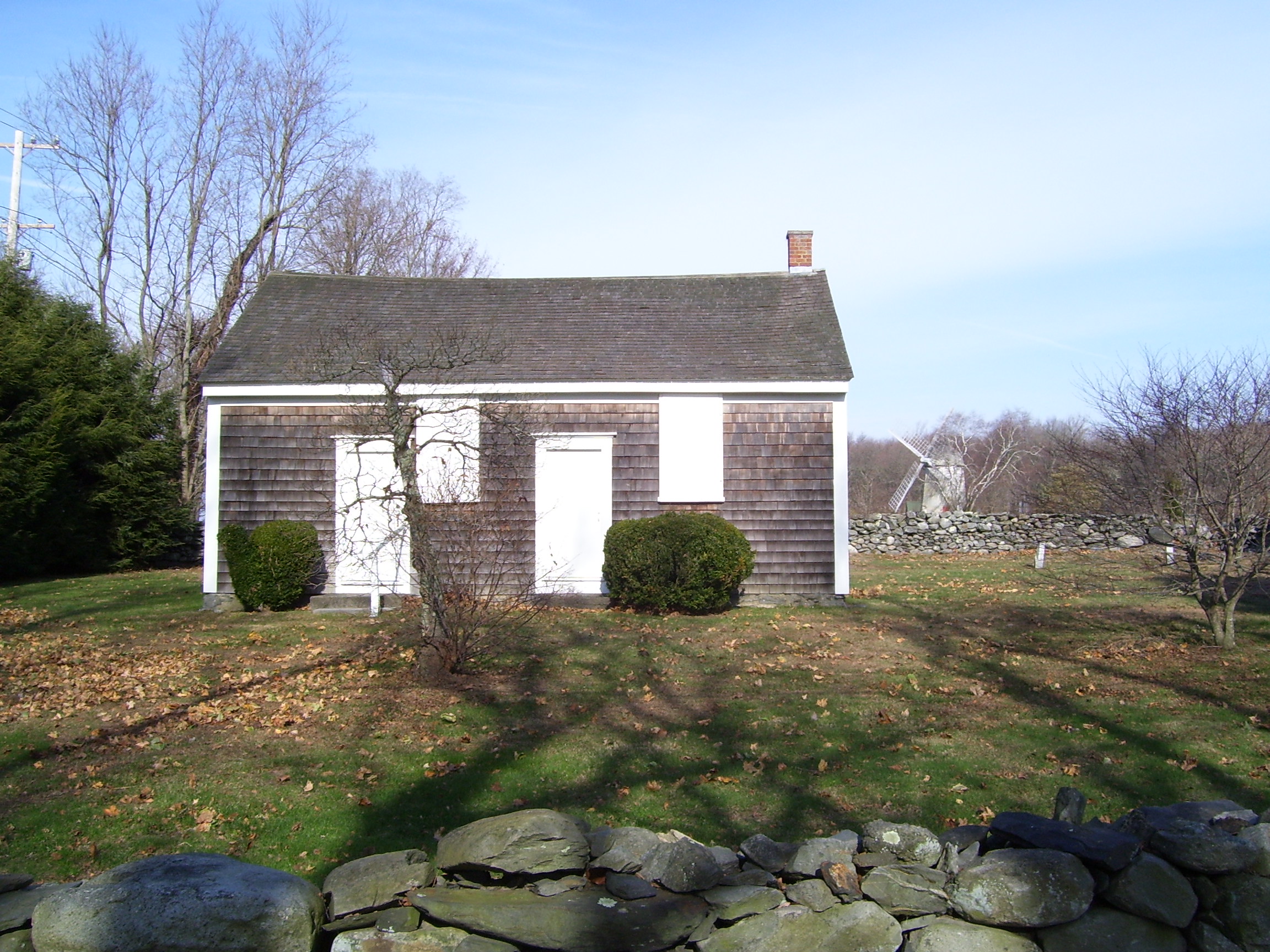 Enclosure in JamestownEnclosure · 563 yd
 Kilquane Church (in ruins)Church · 761 yd
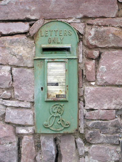 post boxpost box · 970 yd
 Carron MountainMountain / peak · 1710 yd
 Ballymacshaneboy Castle (in ruins)Castle, unclassified · 1.1 mi
 BallinaboolaVisitor information · 1.5 mi
 Ardskeagh MoatCastle, motte · 1.9 mi
 ToberSpring · 3.1 mi
 Lady's WellSpring · 3.1 mi
 Holy Cross CemeteryGraveyard · 4.5 mi