What is recorded here
Six short limestone slabs stand on edge in Garraí an Dúidín, forming an incomplete rectangular outline on rising ground at the northern end of Inis Oírr. They are too fragmentary for a confident tomb label, leaving behind a shape rather than a room. That ambiguity suits the island: a suggestion of chamber, threshold or marker, half swallowed by grass and memory.
On an overgrown piece of rising ground, towards N end of the island. In the corner of a field known locally as Garraí an Dúidín, are a group of six limestone slabs (H 0.45m), set on edge. These appear to form a roughly rectangular structure on plan which is aligned NE-SW. Though classified as a megalithic tomb in the SMR (Gosling et al. 1987), the remains are insufficient to permit classification (info. J. Waddell). Not visited. (Robinson 1980)
The above description is derived from the published 'Archaeological Inventory of County Galway Vol. I - West Galway'. Compiled by Paul Gosling (Dublin: Stationery Office, 1993).
Date of upload: 05 August 2010
The monument record does not grant public access. Check the route and ask the landowner before entering private land.
- What survives
- Recorded monument
Places near here
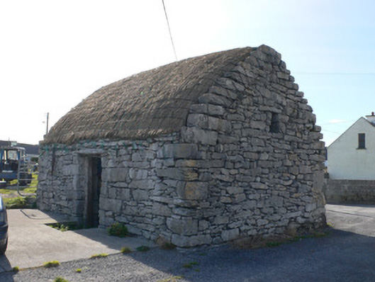 outbuildingoutbuilding · 333 yd
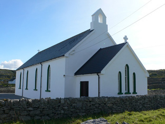 Séipéal Naomh Caomhánchurch/chapel · 335 yd
 Cill GhobnaitHeritage attraction · 522 yd
 Inis OírrIsland · 570 yd
 Holy well in Inis OírrHoly well · 592 yd
 Cnoc RaithníHeritage attraction · 610 yd
 IndicatedFairy fort / stone ringfort · 742 yd
 Caisleán Uí BhriainCastle · 749 yd
 Lár na TráBeach / strand · 893 yd
 Port na CilleBeach / strand · 1298 yd
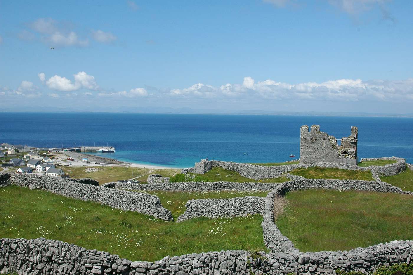 FárdorasHeadland · 1.1 mi
 Gob na CoraHeadland · 1.2 mi