What is recorded here
Thirty metres northeast of a known structure and a hundred metres east of the Grange stone circle, an invisible ring of stones holds its shape beneath improved pasture. Magnetic surveys detected the circle in 2008, yet no stone appears above the grass, suggesting burial, removal or a gap in human seeing. It joins nearby circles around Lough Gur like a hidden chamber in a house already full of rooms.
In improved pasture 230m W of Lough Gur. Grange stone circle (LI032-004001-) lies 100m to W, two stone circles (LI032-005/006----) located in the adjoining field to N and structure (LI032-319----) 35m to NW. Not depicted on OSi maps. Identified in 2008 as a series of discrete, negative magnetic anomalies that form a circle measure 13m in diameter, labelled Feature 5 in Area 1 (fluxgate gradiometer survey) and tentatively described as possible ‘remains of small stone circle or, possibly some form of megalithic structure’ (Cleary 2008, 39-40). Visible as circular-shaped cropmark on Google Earth orthoimage dated 07/05/2006. No surface remains visible on OSi orthophoto taken between 2005-12 or on Google Earth orthoimage dated 20/09/2020.
See attached location maps of Geophysical Survey taken from Cleary 2008
Compiled by: Martin Fitzpatrick
Date of upload: 2 April 2021
The monument record does not grant public access. Check the route and ask the landowner before entering private land.
- What survives
- Recorded monument
Places near here
 Structure in Grange (smallcounty By.)Structure · 43 yd
 Cladh na LeacRoad, road/trackway · 143 yd
 Grange Stone CircleArchaeological place · 153 yd
 Stone CirclesStone circle, embanked · 154 yd
 Lough GurVisitor information · 219 yd
 Bawn in Grange (smallcounty By.)Bawn · 654 yd
 Garret IslandCastle, unclassified · 689 yd
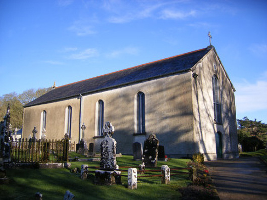 Catholic Church of Saint Patrick and Saint Brigidchurch/chapel · 725 yd
 Pedunculate OakPedunculate Oak · 1546 yd
 The SpectaclesVisitor information · 1.0 mi
 Lough Gur Heritage CentreVisitor information · 1.0 mi
 Glen BogForest · 2.1 mi