What is recorded here
Listed as a 'stone circle' in the SMR (1986) and as a possible 'stone circle' in the RMP (1995). On a gentle SE-facing slope. A disused quarry pit. No visible surface trace of the two granite boulders described in 1931. (Walsh 1931, 128)
Compiled by: Matt Kelleher
Date of upload: 20 December 2012
The monument record does not grant public access. Check the route and ask the landowner before entering private land.
- What survives
- Recorded monument
Places near here
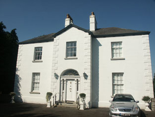 Catholic Church of Saint Nicholas of Myrapresbytery/parochial/curate's house · 1189 yd
 Memorial to 1798 rebellionMonument · 1311 yd
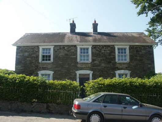 Hillgrove Househouse · 1356 yd
 Church (Site of)Church · 1394 yd
 St. Nicholas WellHoly well · 1617 yd
 Site of Fair GreenForest · 2.2 mi
 CastleCastle, unclassified · 2.3 mi
 Burial ground in CrehelpBurial ground · 2.4 mi
 Castle (in Ruins)House, fortified house · 2.9 mi
 Pedunculate OakPedunculate Oak · 3.8 mi
 Church MountainMountain / peak · 4.0 mi
 Saint Kevin's CaveMemorial · 4.1 mi